
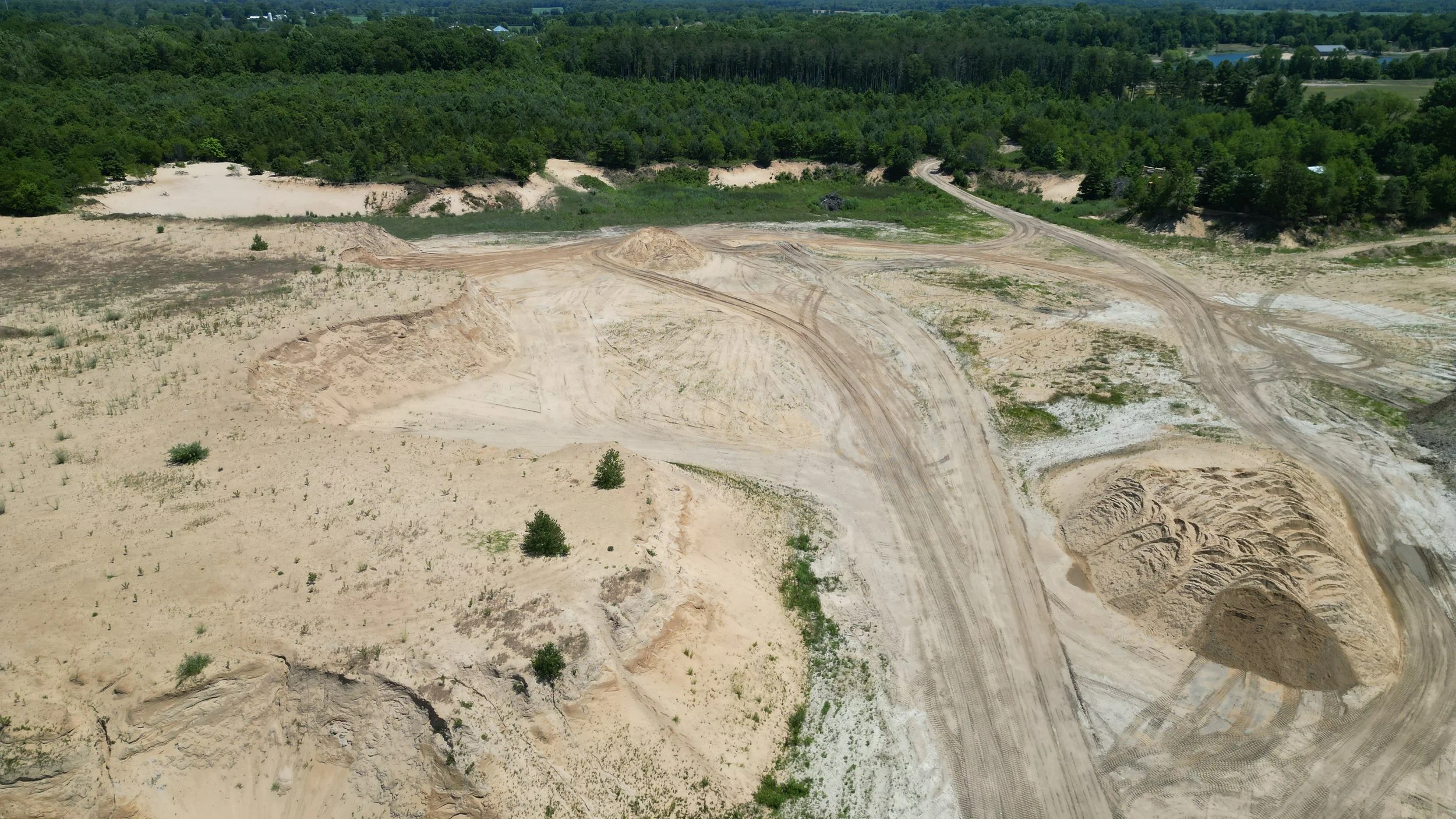
Drone Mapping
We offer high-precision drone mapping and surveying services for projects across Michigan and surrounding states.
Using advanced drones equipped with RTK (Real-Time Kinematic) GPS, we capture accurate, high-resolution aerial data to help you plan and execute projects more efficiently.
Our orthomosaic maps and topographic surveys can help deliver the insights you need in a quicker and more convenient way than traditional methods.
How We Can Help
-

Construction & Progress Tracking
-

Excavation & Earthworks
-
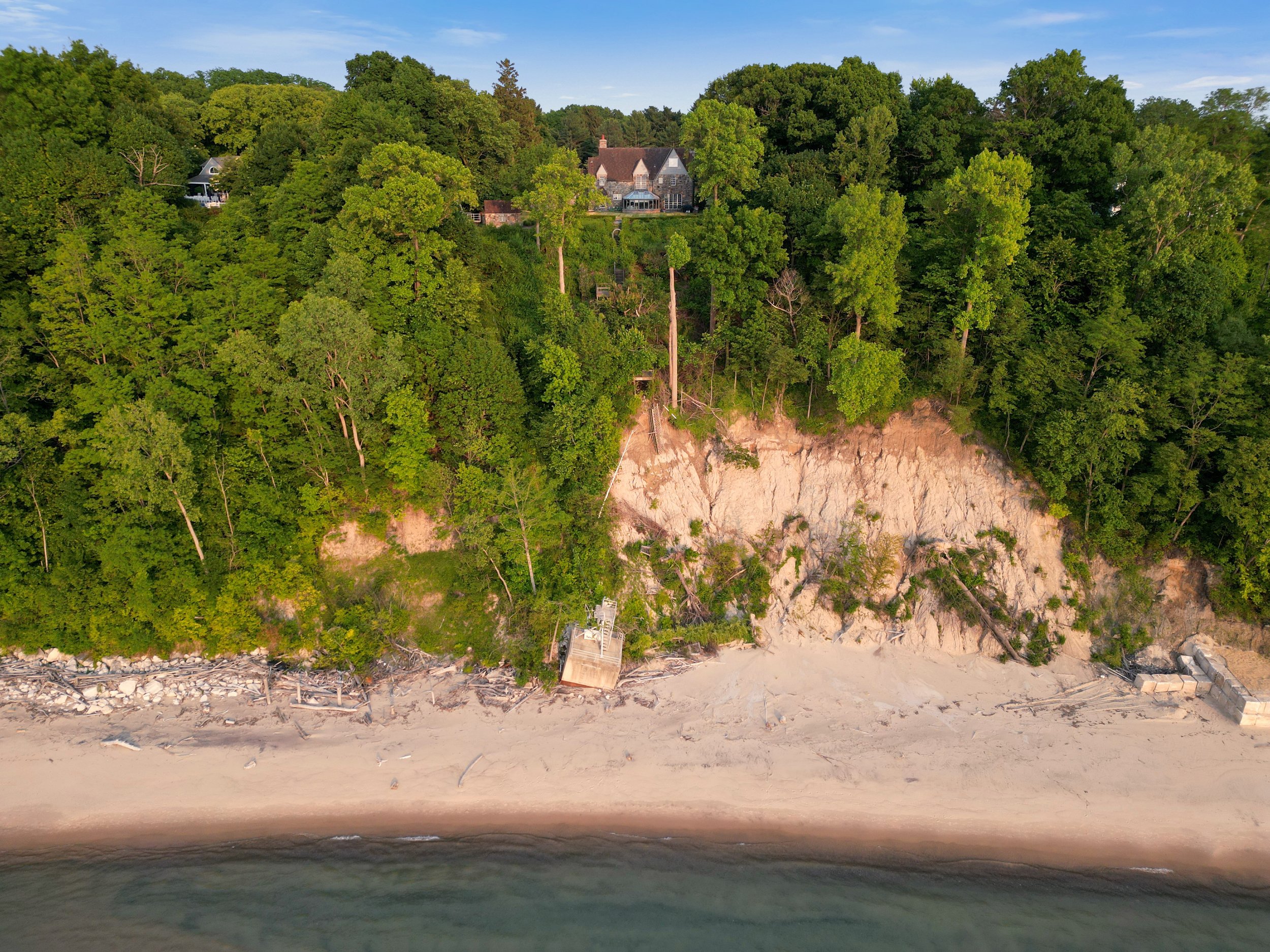
Environmental Monitoring
-

Urban Planning
Contact Us!
Please contact us below or fill out the form to get a quote or book a project. We always aim to respond within a few business hours.