
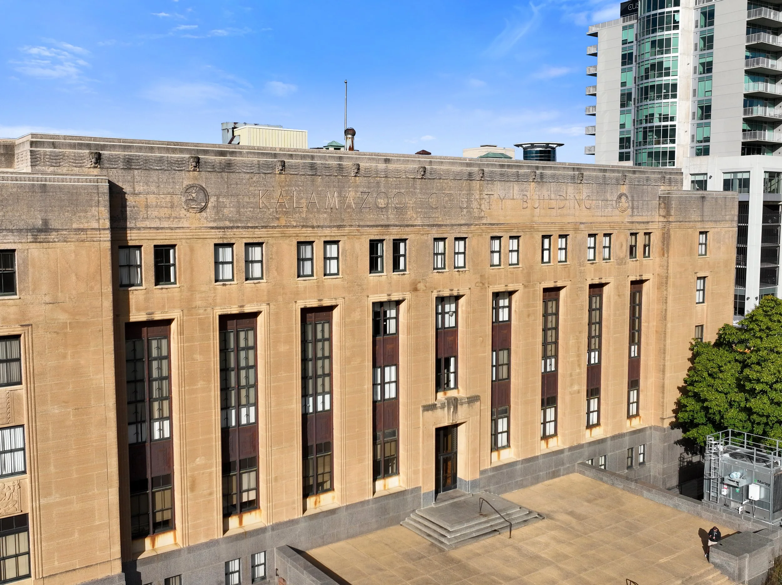
Engineering
Our services help engineering companies capture accurate visual and spatial data for inspection and design needs.
We provide CAD-ready deliverables that can improve collaboration and make project planning more efficient.

Drone 3D Modeling
We create accurate 3D models that use high-resolution drone photos to capture every side, angle, and elevation of a structure.
These models provide engineers with an exact digital replica of a building, and they contain features such as precise measuring and annotation abilities for areas of concern.
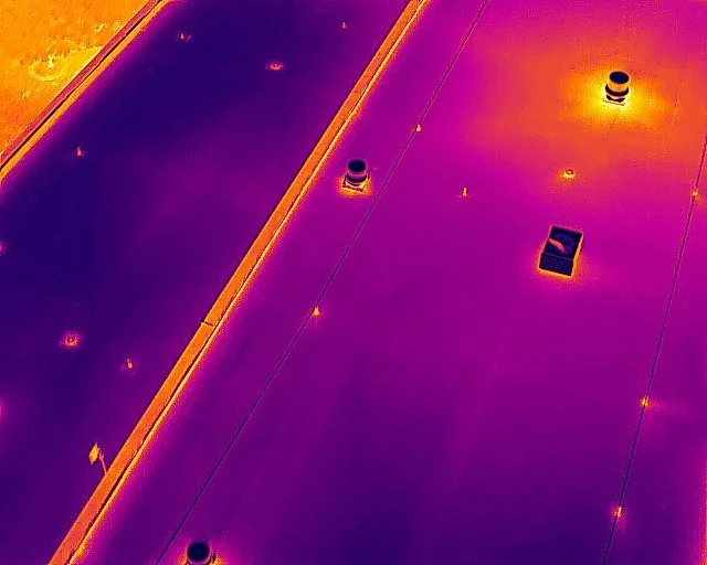
We use our high-resolution thermal drones to detect hidden issues on roofs, facades, and mechanical systems.
This data can be great for diagnosing the performance of a building envelope, and it can be aligned with RGB visuals to clearly see temperature differentials.

LiDAR & 3D Scanning
Our laser scanning services provide engineers with high-accuracy spatial data for verification of existing conditions and design coordination.
Some of these time-saving deliverables include CAD files, point cloud files, and 3D virtual walkthroughs.
Contact Us!
Please contact us below or fill out the form to get a quote or book a project. We always aim to respond within a few business hours.