
Drone Services & Building Documentation
3D scanning, thermal inspections, LiDAR mapping, and photography for commercial properties and portfolios across the United States.
Our Services
-
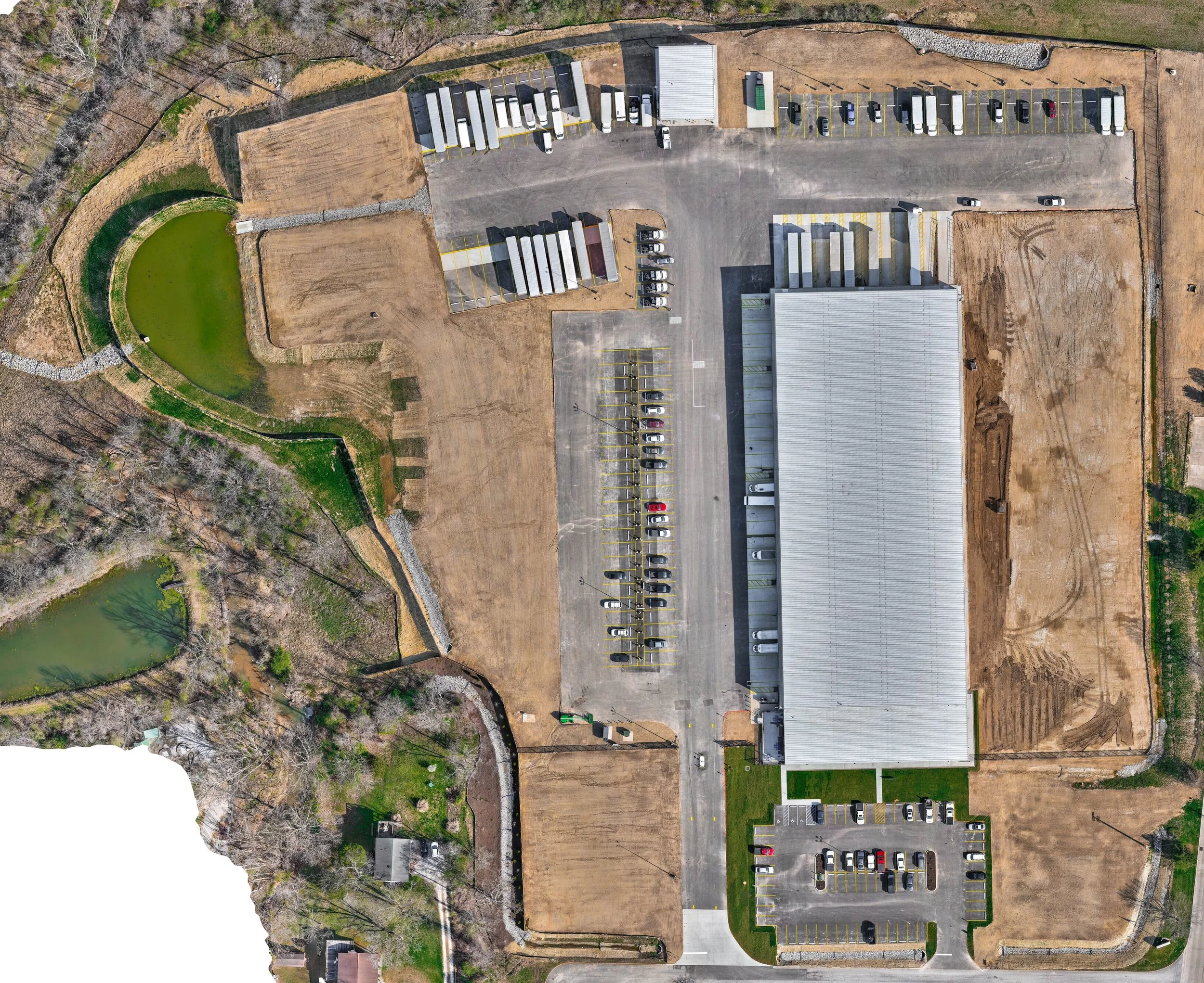
Drone Mapping & LiDAR Surveying
Survey-grade site mapping with topography, contours, orthomosaics, and point-cloud deliverables.
-
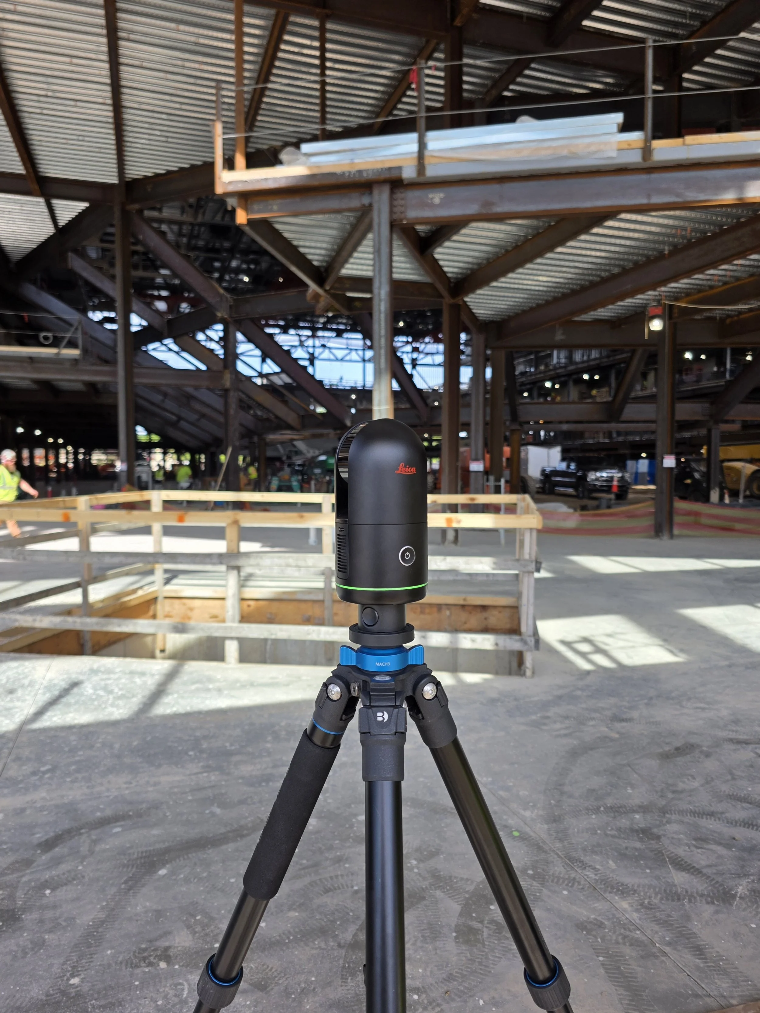
3D Laser Scanning
High-accuracy interior and exterior scanning that captures your building's exact existing conditions.
-
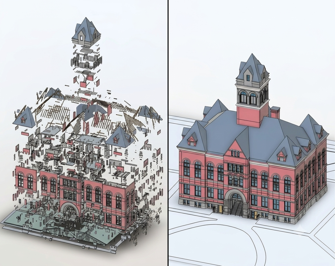
Scan-to-BIM
Accurate Revit and BIM models built from your point cloud, ready for architects and engineers to design in.
-
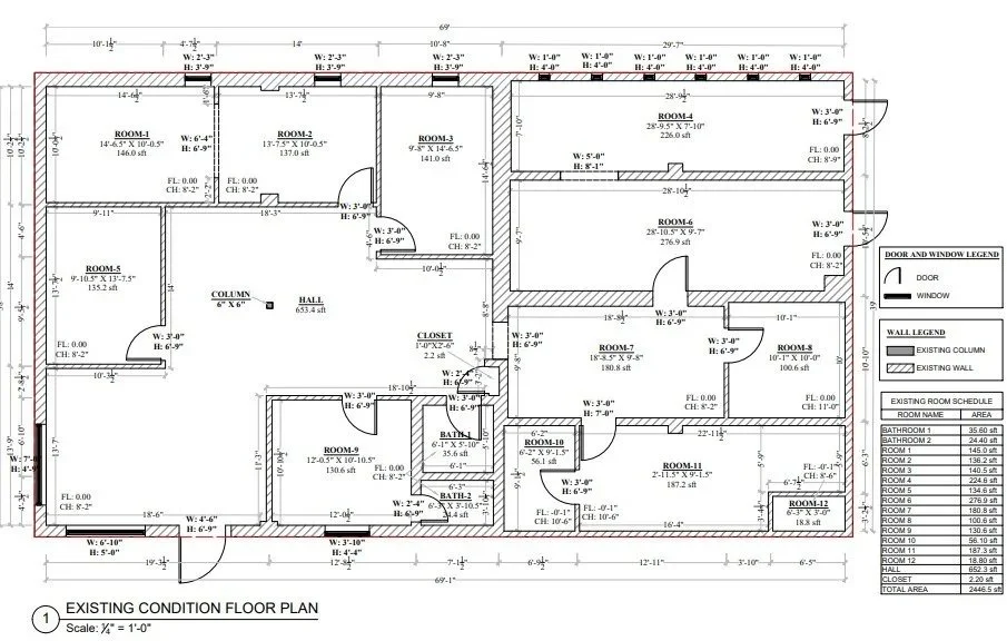
As-Builts and Floor Plans
Accurate 2D drawings of what's really there, including floor plans, reflected ceiling plans, elevations, and machinery layouts.
-
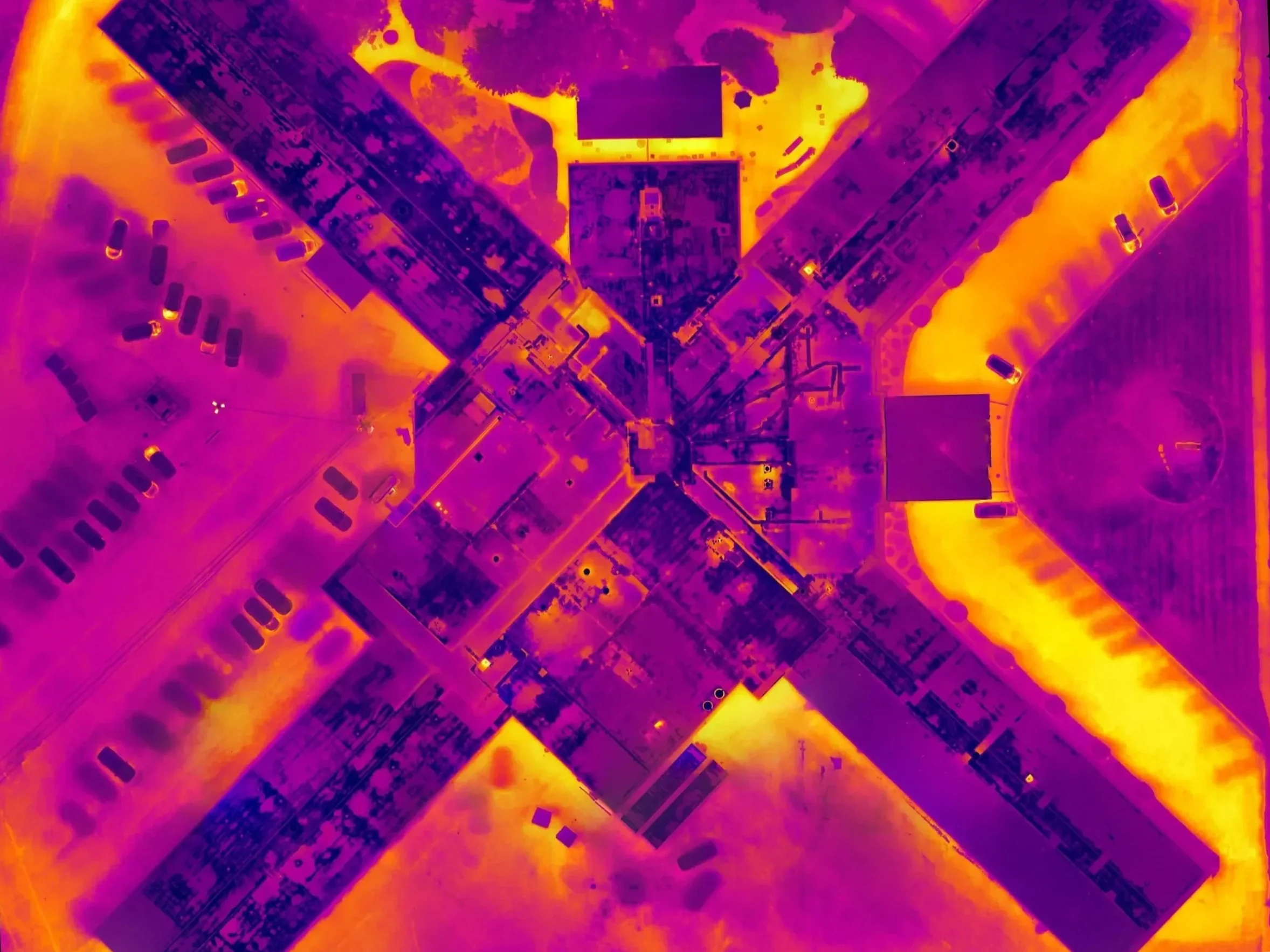
Drone Thermal Inspections
Aerial thermal imaging that finds trapped moisture and insulation issues before they become leaks and repairs.
-
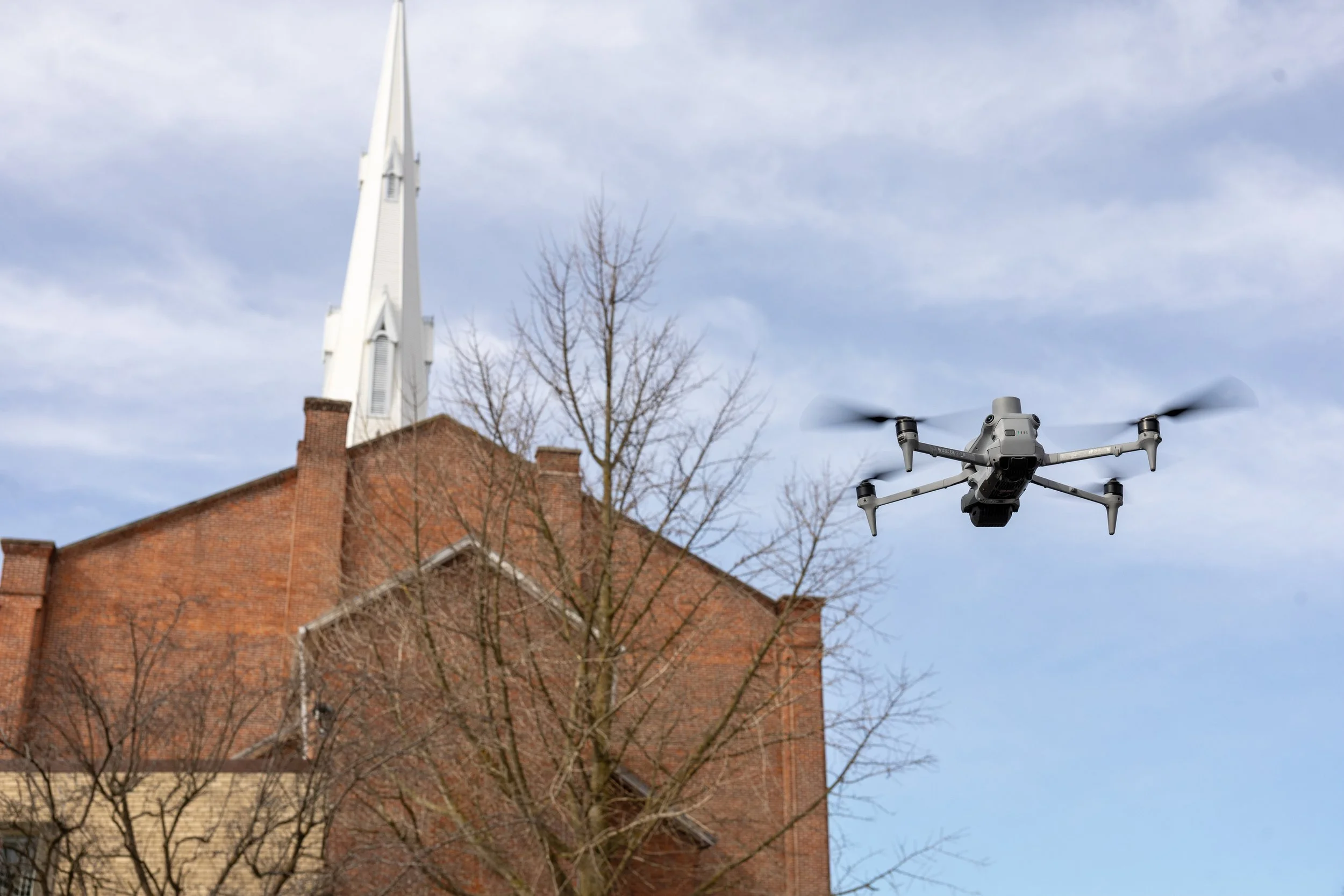
Drone Facade Inspections
Detailed visual, thermal, and dimensional inspection of building facades without scaffolding or swing stages.
-
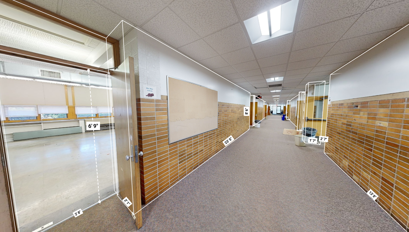
Matterport Virtual Tours
Interactive 3D tours that let clients or bidders walk a space from anywhere, with floor plans and measurements built in.
-
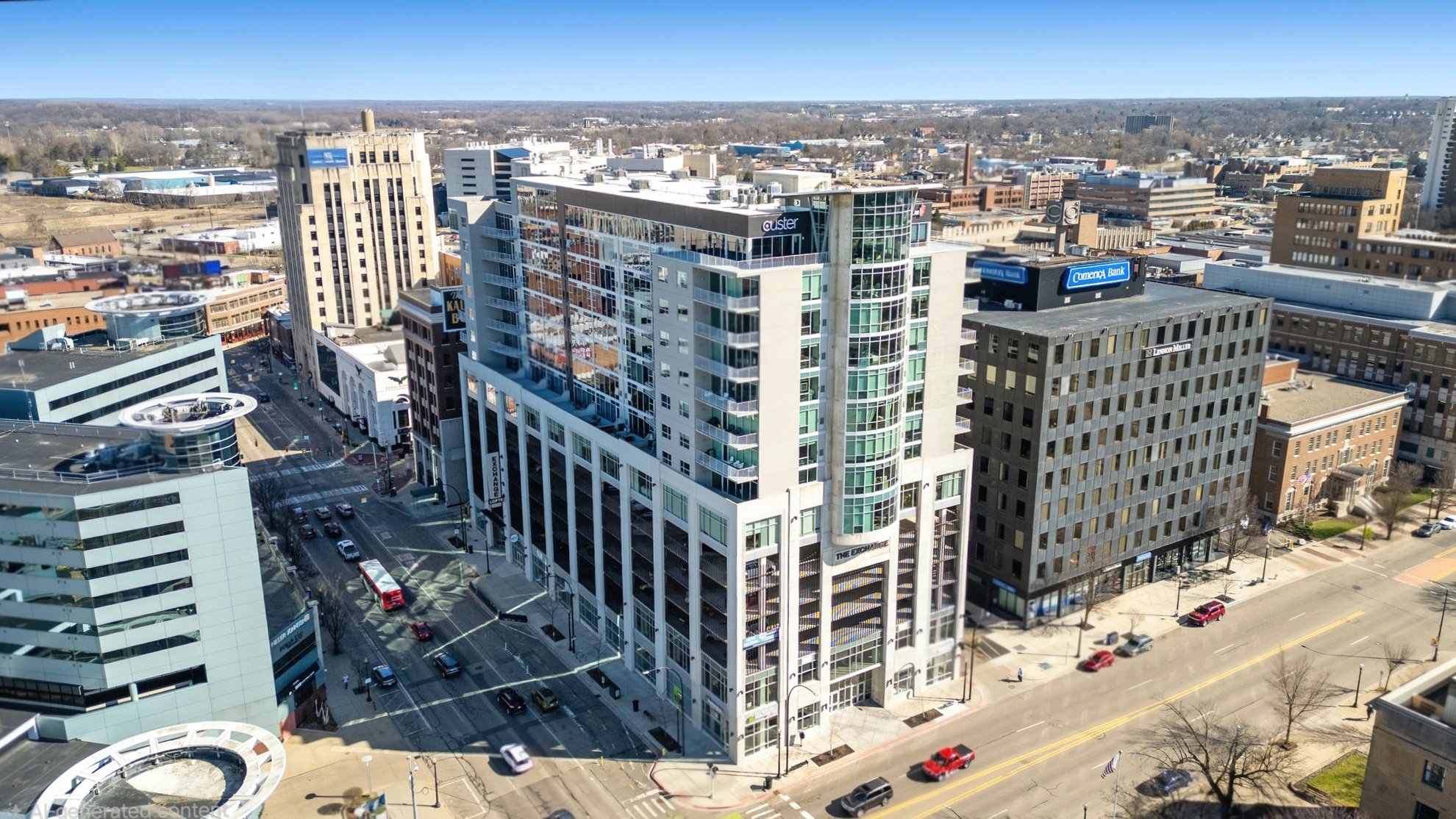
Drone Photography & Video
Aerial photography and video built for marketing your properties and showcasing your work.
-
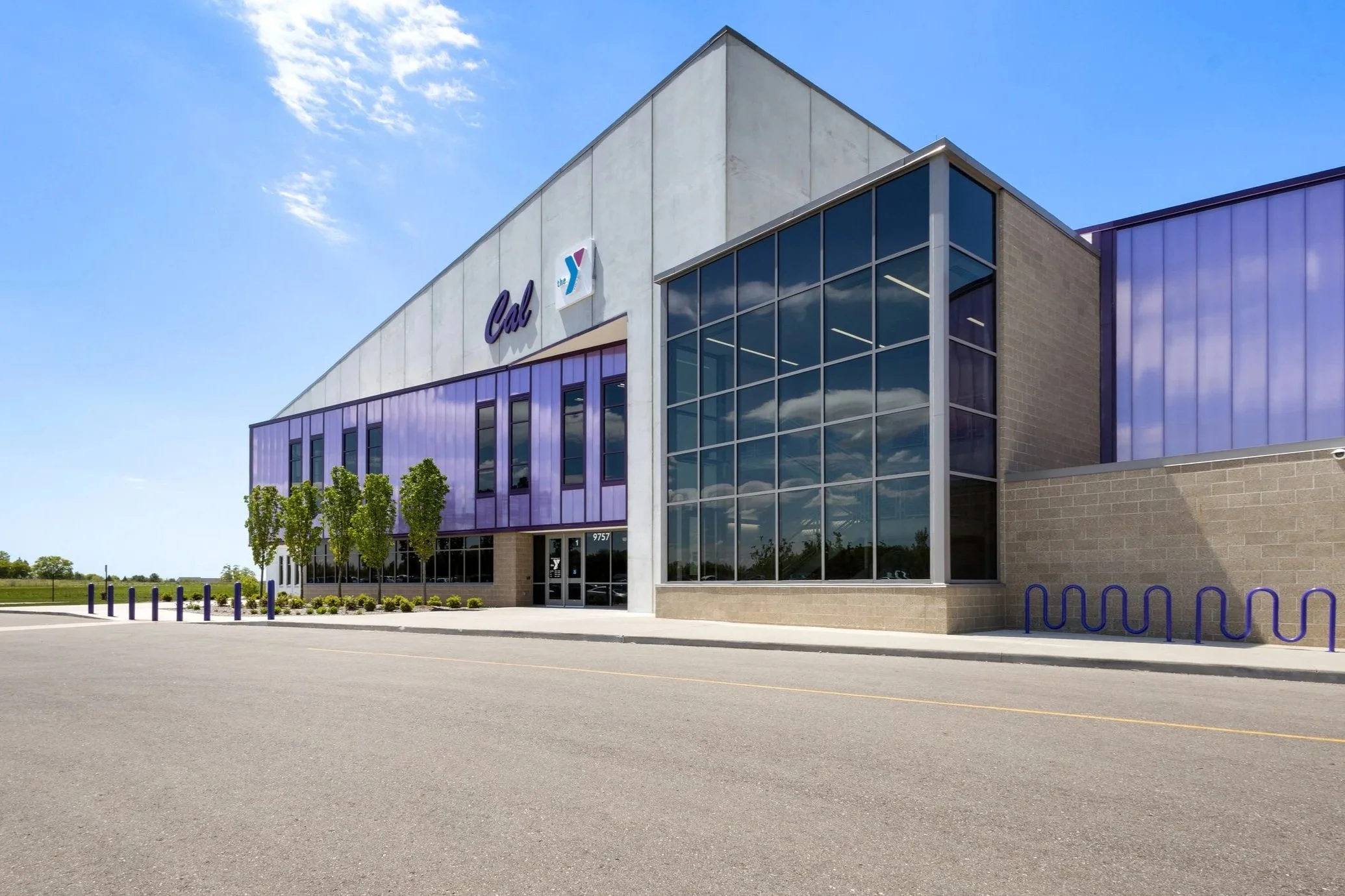
Building Photography
High-resolution interior and exterior photos that capture the whole building and the finished details that make your work stand out.
Who We Help
-
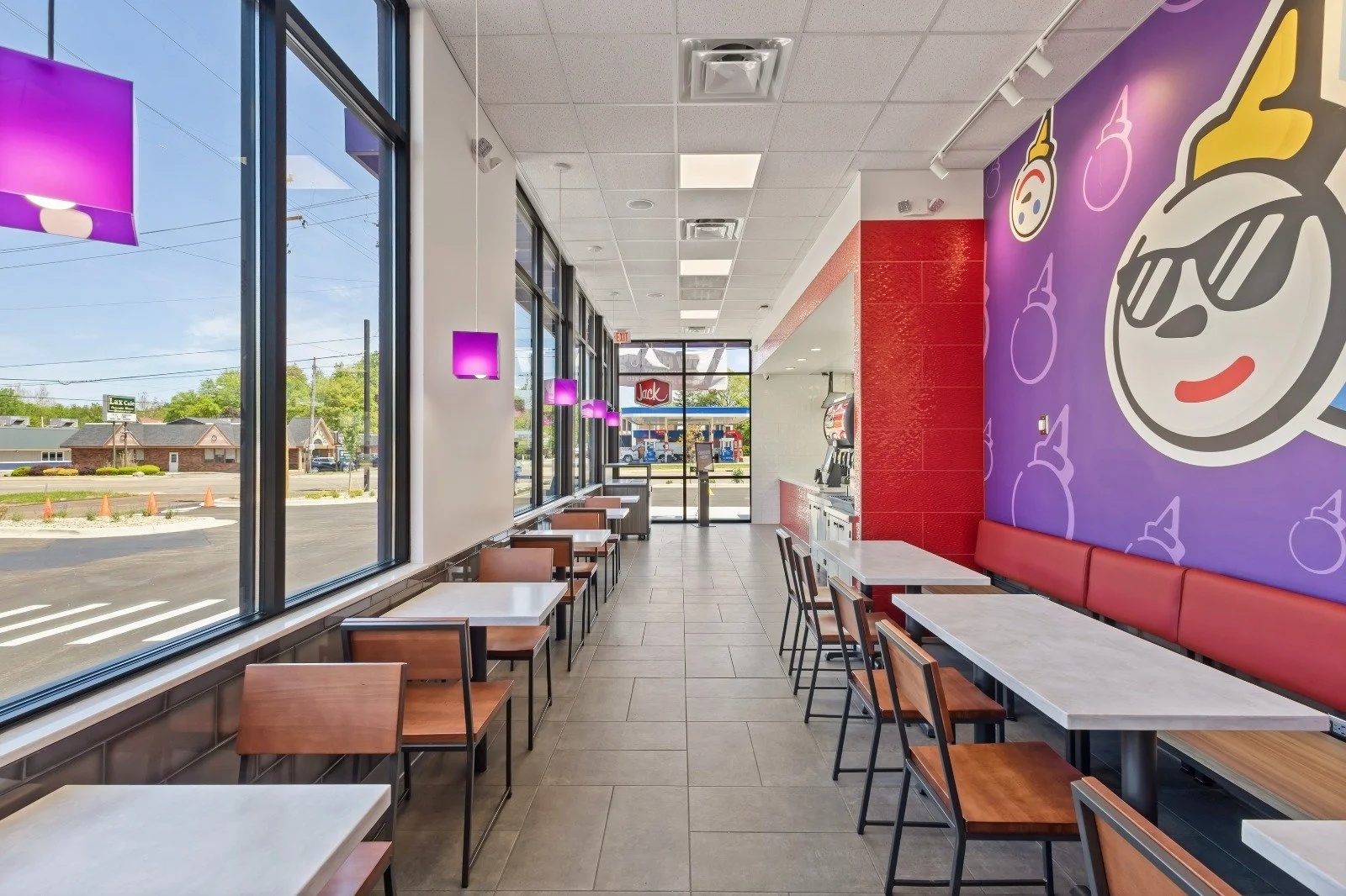
Architecture
-
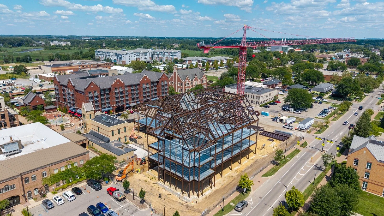
Construction
-
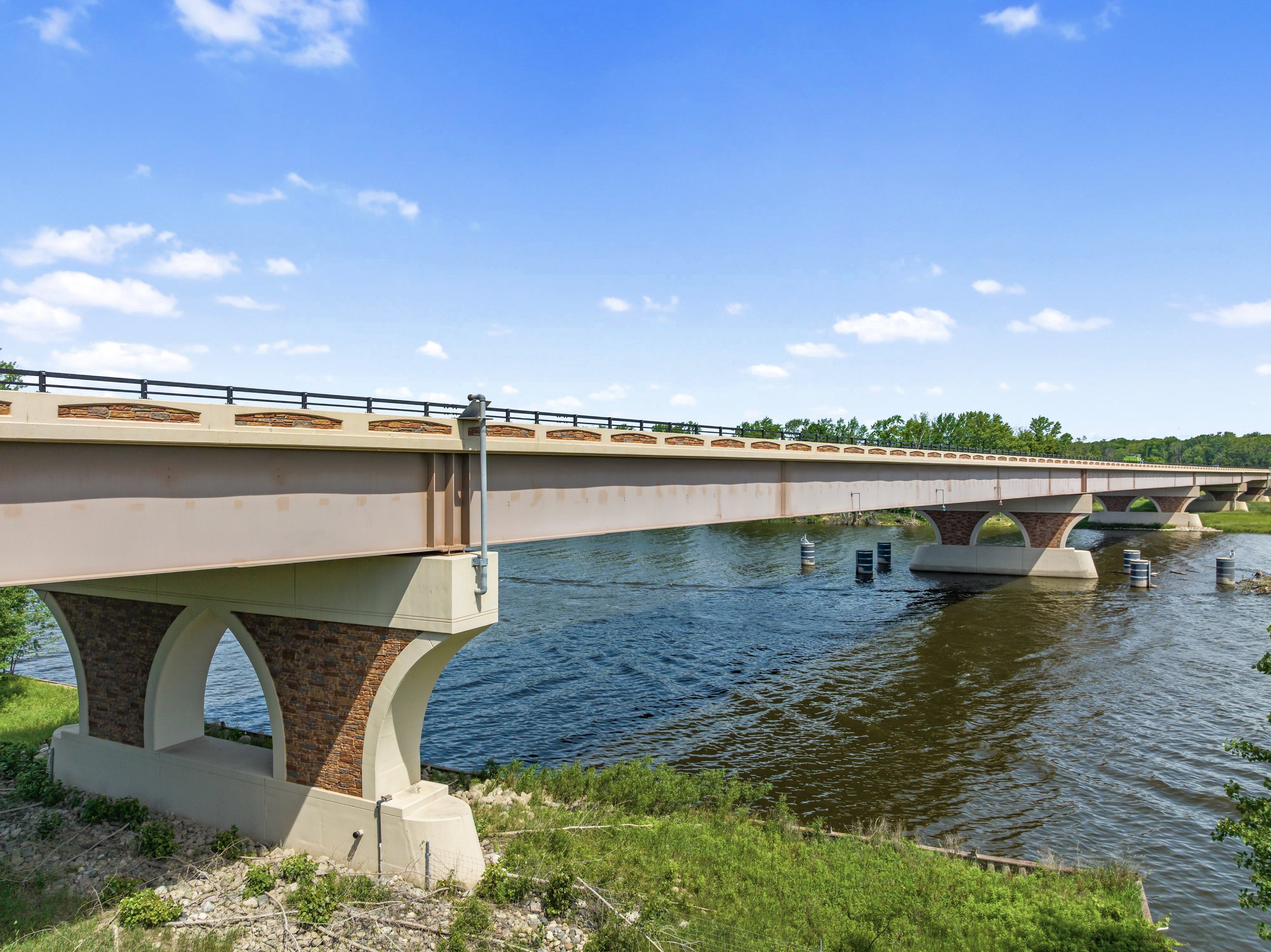
Engineering
-
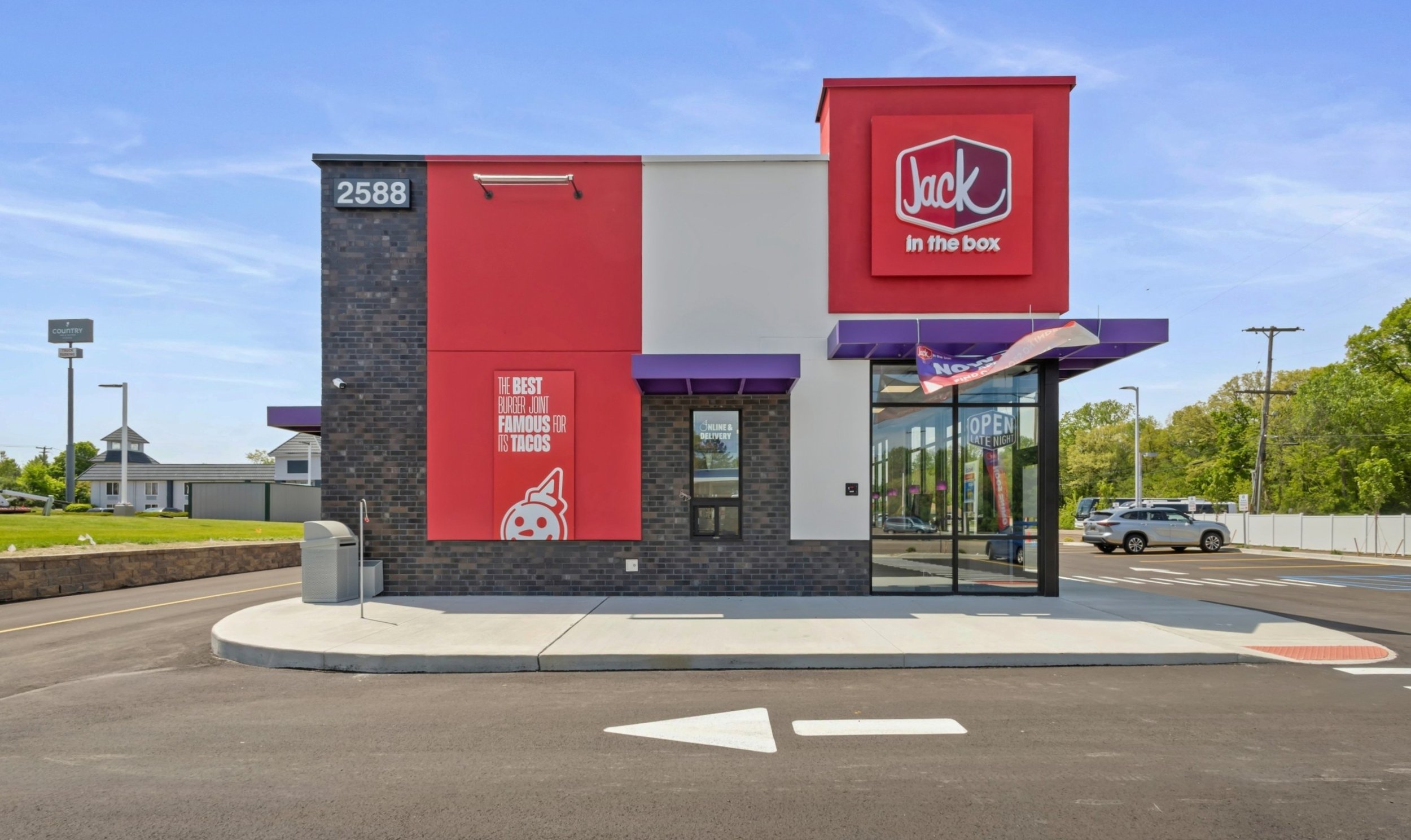
Retail
-
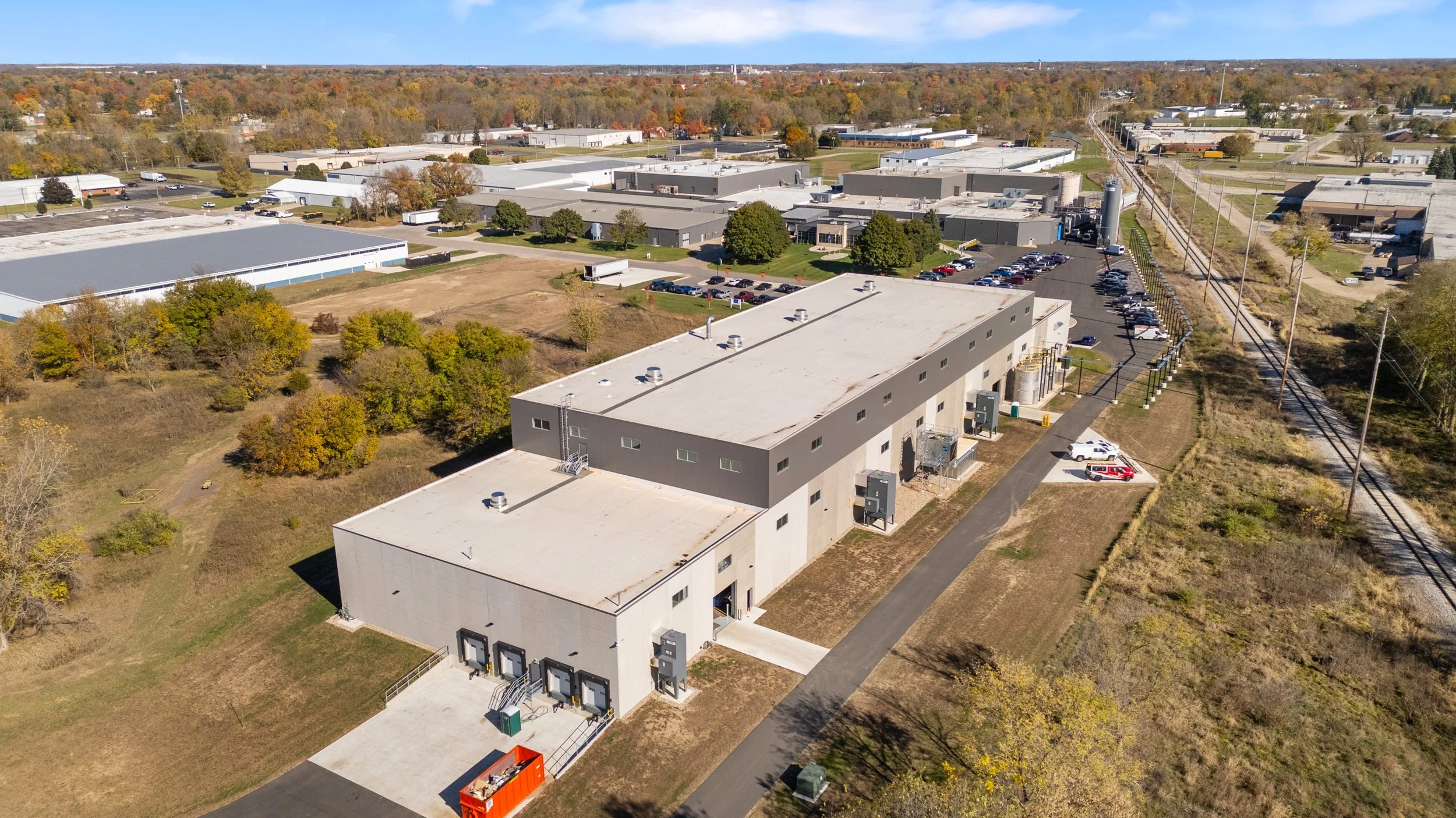
Manufacturing & Industrial
-
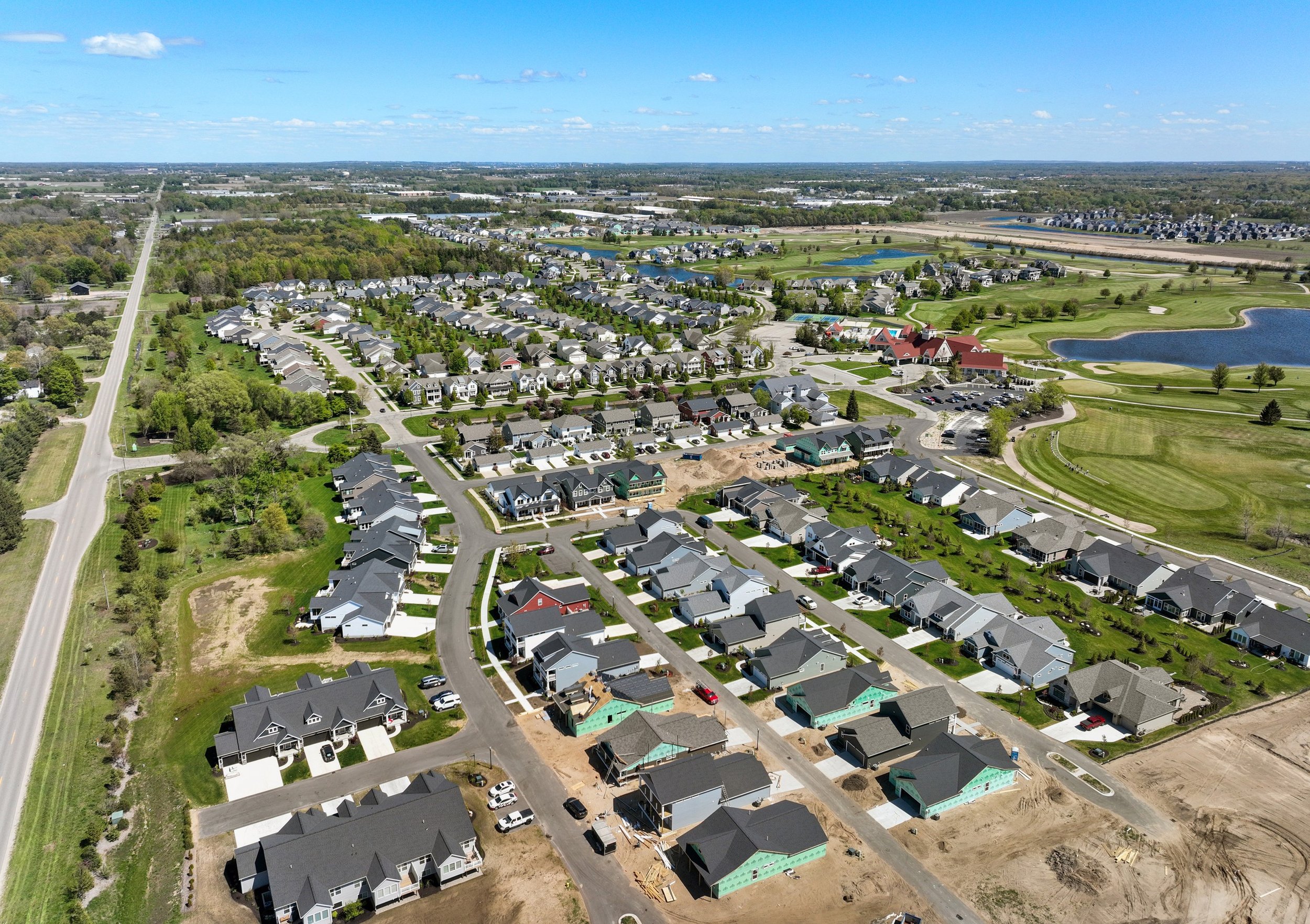
Civil Engineers & Surveyors
-
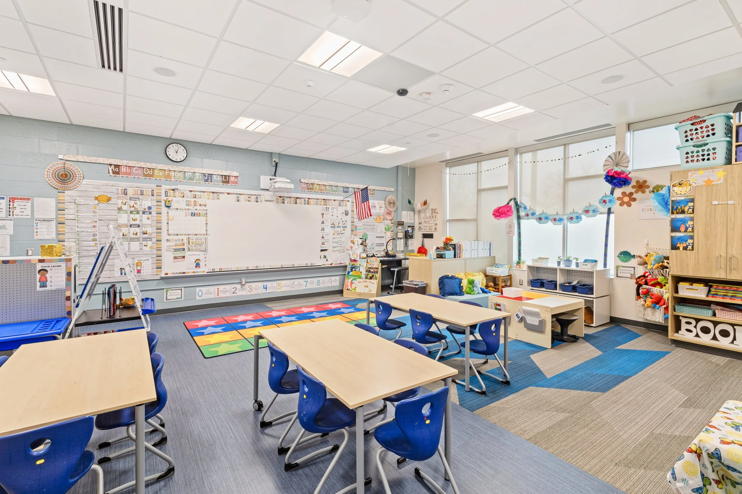
Schools and Education
-
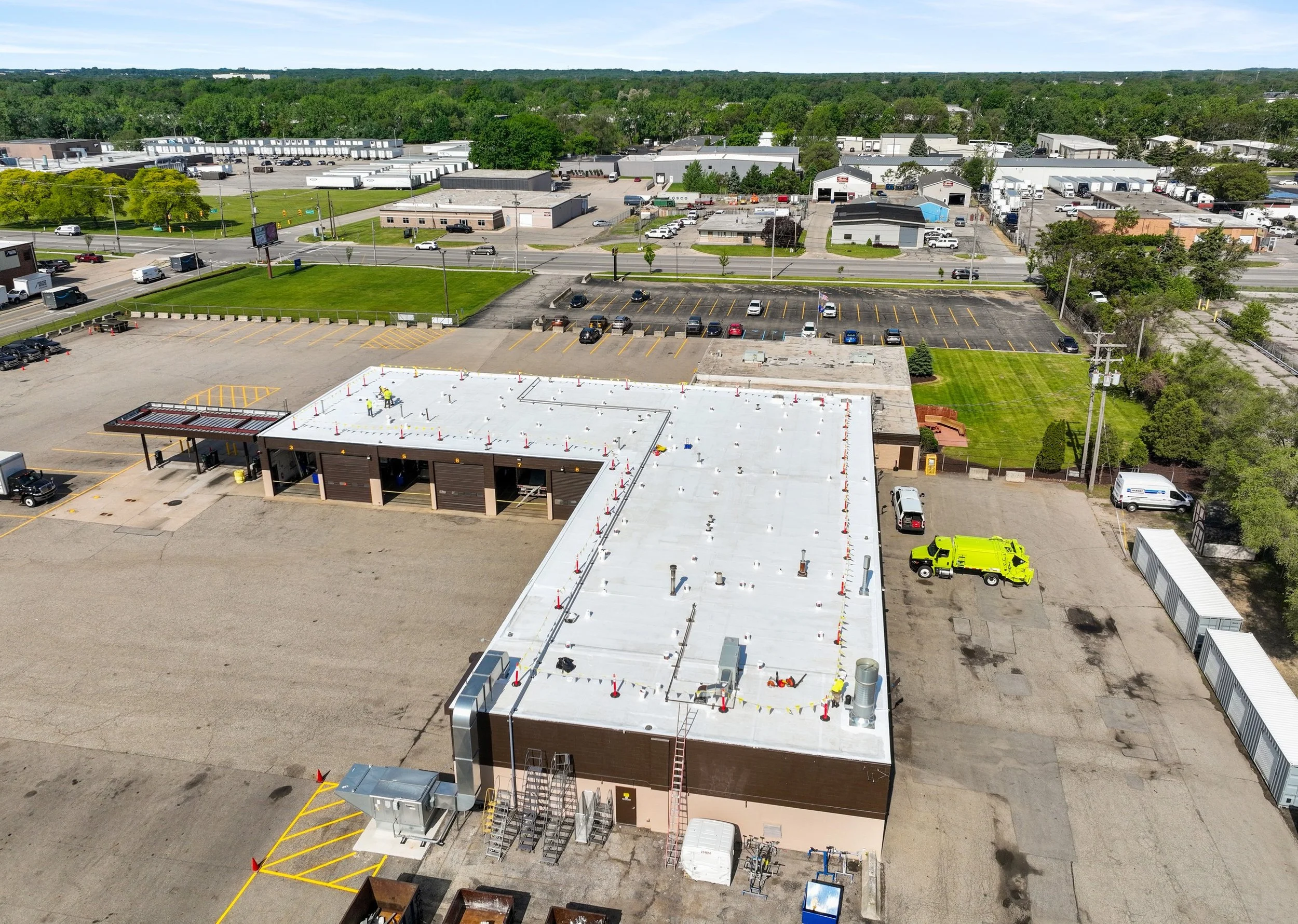
Commercial Roofing
-
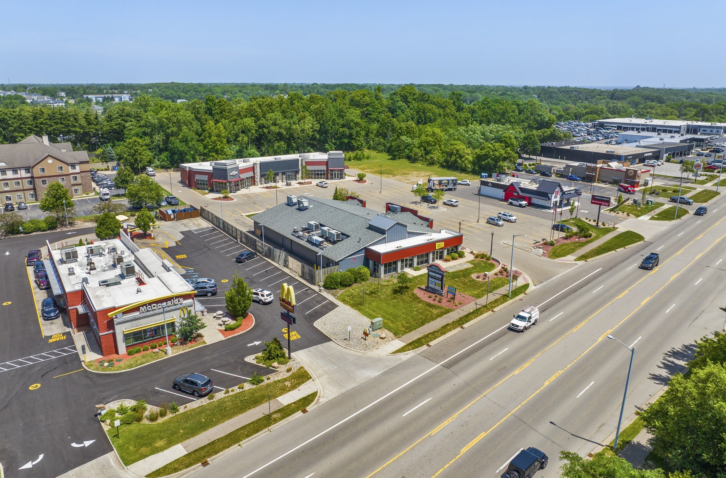
Commercial Real Estate
Our Process
Share Your Requirements
Tell us what needs to be documented, the project location, and any specific deliverables or scheduling requirements.
Receive a Detailed Quote
We prepare a clear written proposal outlining the scope of work, deliverables, timeline, and project cost.
On-Site Capture
Our team arrives on-site and captures the required photography, video, drone imagery, or scanning efficiently and accurately.
Receive Your Deliverables
Your files are processed, organized, quality-checked, and delivered in a ready-to-use format according to the agreed schedule.
TESTIMONIALS
What clients are saying
“Jacob helped us get a model and virtual walk-through of our new space. He was professional, knowledgeable, and incredibly easy to work with. He was also able to coordinate with our architect and builders to get the scope of the work concise and appropriate for our budget.”
“Absolutely exceeded our expectations. We went with a different drone company first and we were disappointed. The level of professionalism for still shots and drone footage was top tier. The quality, the professionalism, the beautiful photography and videography, the artistic eye, the price, and the incredible turnaround time blew us away. I'd say one of the best drone footage companies in Michigan for sure!”
“Jake took great photos and aerials on the industrial building we are preparing to sell. He did a great job capturing all the attractive attributes of the building. We will continue to use Jake for our Midwest assignments. Thanks Jake!”
“Building capture did amazing work for our real estate portfolio this spring! We provided a scope which included multiple properties and they delivered some great shots and videos for our marketing team. Thank you Jake for the quick communication and being flexible with us. Could not recommend them enough!”
“Jacob gave us a reasonable quote to map our property with his drone services. It was fast, accurate, and detailed. I plan on using his services again.”
“Jake Taylor from Building Capture produced high-quality, drone imagery for a historic church assessment. Jake was thorough, professional, and friendly from the beginning of the project to completion. His photos and videos are professional and delivery was swift.”
“Jacob is awesome to work with and provided us with a quality floorplan scan on several investment properties and incredible views with their drone as well! Highly recommended!!”
Common questions
-
Building Capture is based in Southwest Michigan and serves commercial projects across the United States. We regularly work throughout Michigan and the Midwest and support single-site and multi-location projects nationwide.
-
You’ll hear from us in minutes during business hours. Once we understand the scope and deliverables, we can often provide a quote the same day.
-
We provide 3D laser scanning, Scan-to-BIM, as-builts and floor plans, drone LiDAR and mapping, thermal inspections, facade documentation, Matterport virtual tours, building photography, and drone photo and video. If you’re not sure what you need, tell us what you’re trying to accomplish and we’ll help determine the right approach.
-
Deliverables vary by project and can include processed photos and video, PDF floor plans, DWG and DXF drawings, E57 point clouds, and BIM models. If your team needs a specific format, let us know when we scope the project.
-
Yes. Our commercial drone operations are conducted under FAA Part 107, and we carry insurance with certificates of insurance available on request.
-
Yes. We support facilities teams, property managers, contractors, and portfolio owners with recurring and multi-location documentation, all coordinated through one point of contact
Let's talk about your project.
Request A Quote
Tell us about your project and hear back within the hour.