
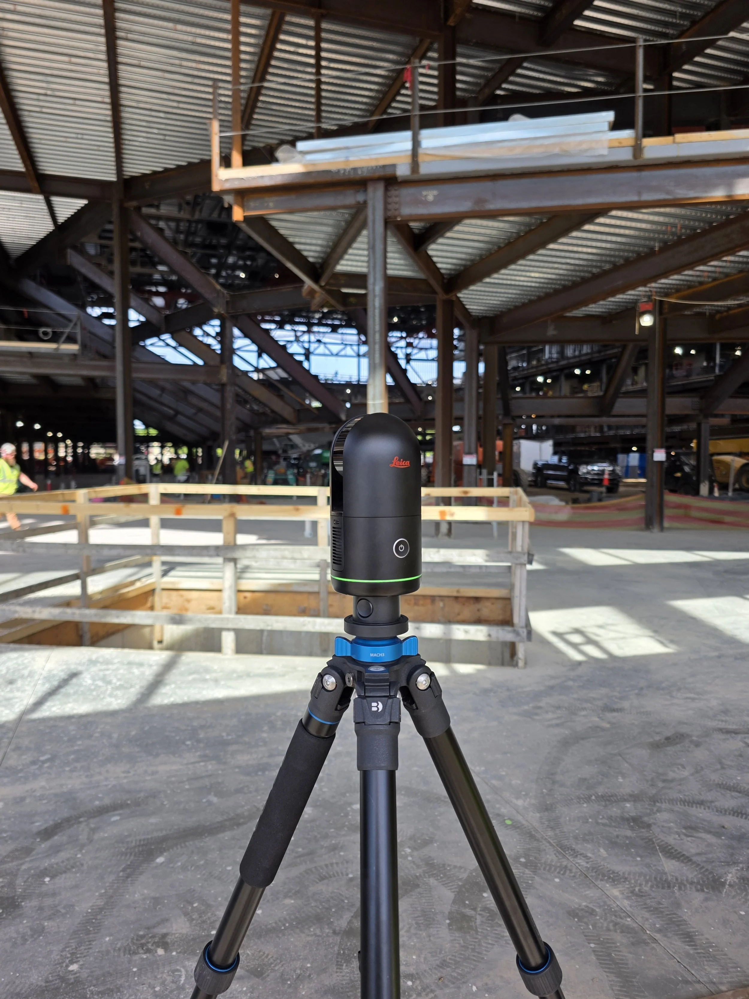
3D Laser Scanning
Millimeter-accurate capture of your building exactly as it stands today, delivered as a clean point cloud, as-builts, or a full scan-to-BIM model. For architects, engineers, and contractors who need to design and build with confidence.
-
Millimeter
Survey-grade accuracy
-
Minimal Disruption
We scan around your operations
-
Fast Turnaround
Built for tight schedules
-
Any Format
Point cloud, CAD, Revit
-
Nationwide
HQ in SW Michigan
You can't design or build accurately from outdated drawings or a tape measure. 3D laser scanning records the entire building, every wall, beam, pipe, and elevation, as a precise digital point cloud. It becomes the single source of truth your whole team can measure, model, and design from, without another trip to the field.
WHAT YOU GET
One scan, every deliverable you need
-
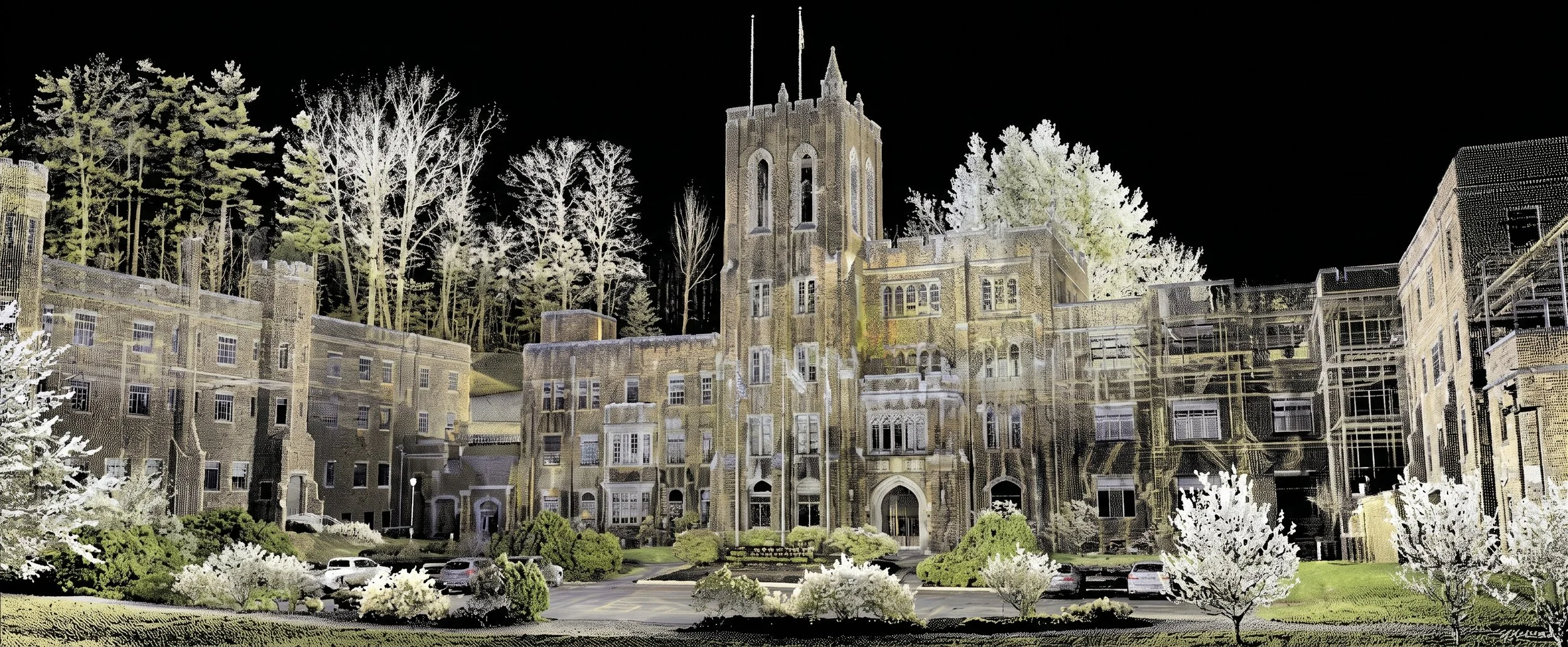
Registered point cloud
A fully registered, color point cloud (E57, RCP, and more) of the existing conditions, accurate, measurable, and ready to drop into your software.
-
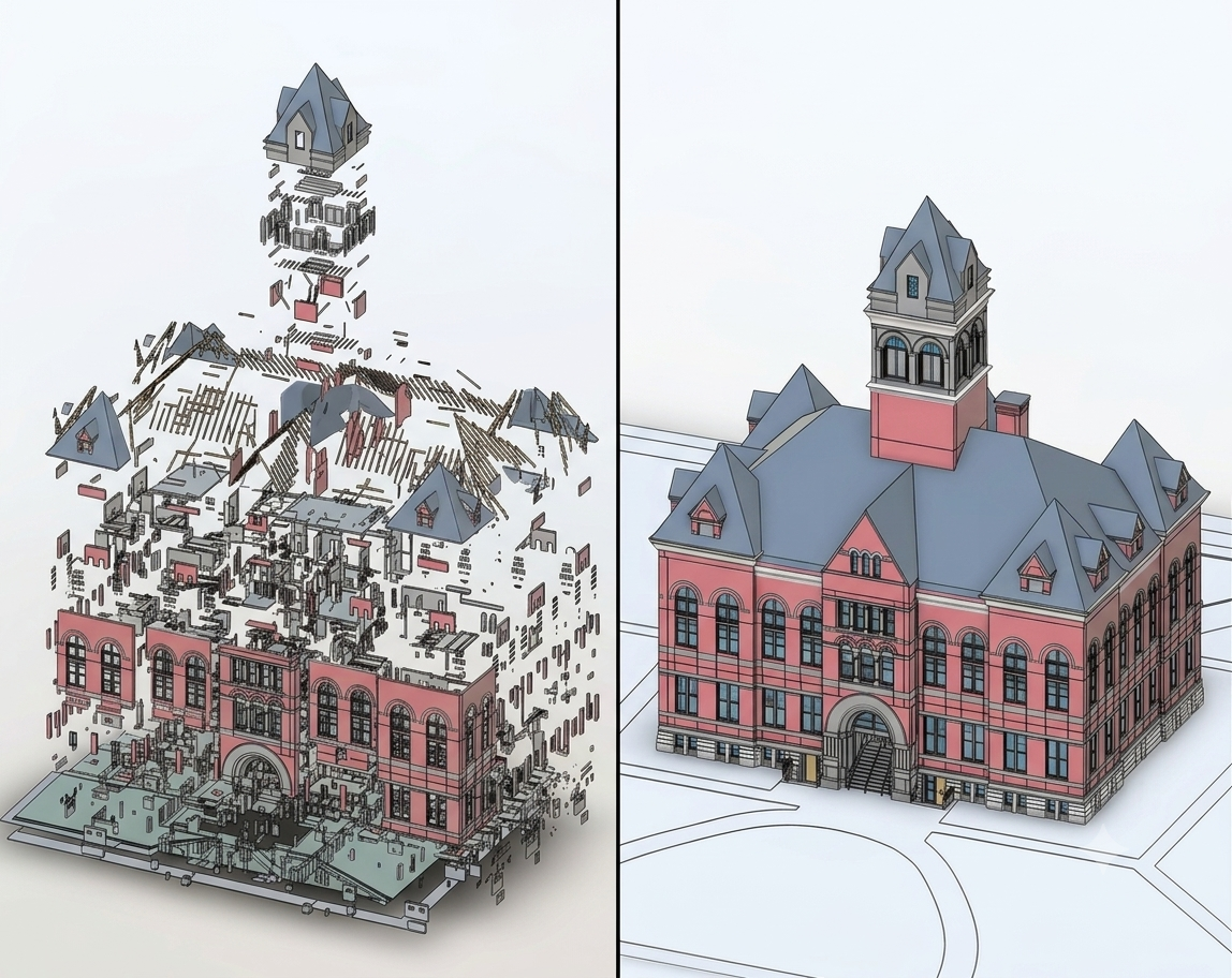
Scan-to-BIM
We turn the scan data into an intelligent Revit/BIM model at the level of detail your project needs
-
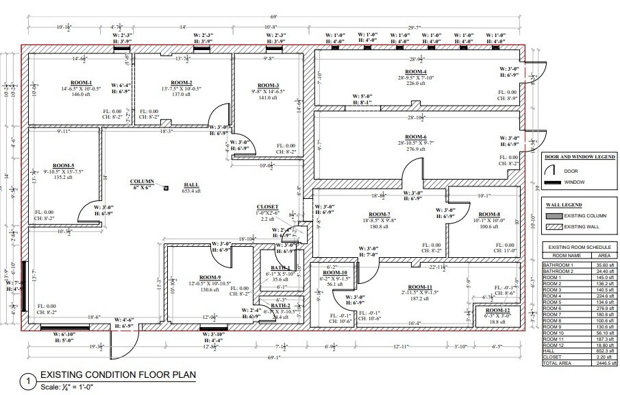
As-builts and floor plans
Accurate 2D floor plans and elevations from the same capture, no second visit required.
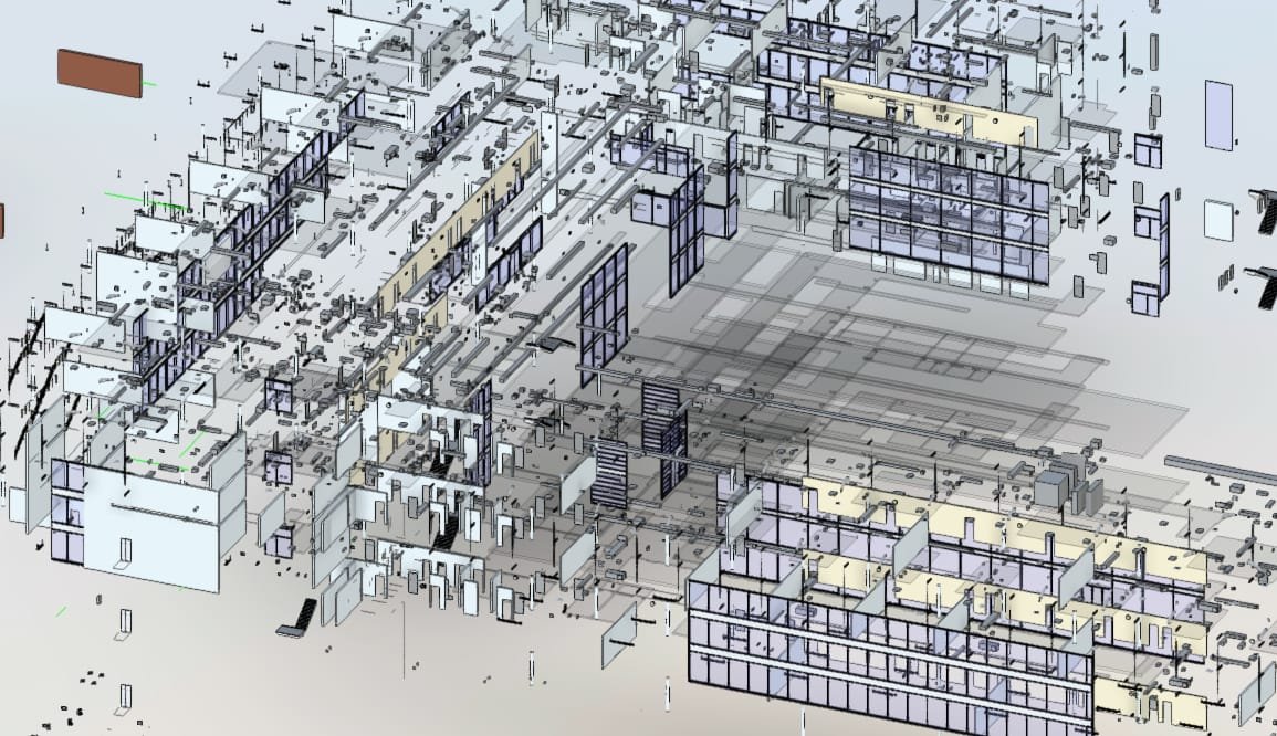
FROM SITE TO DELIVERABLES
The scan is just the start
The point cloud is the foundation. From it, our team builds exactly what your project calls for, a coordinated BIM model for renovation and clash detection, CAD as-builts for permitting, or measured drawings for facilities. You capture reality once and use it everywhere.
WHY BUILDING CAPTURE
Accurate data, captured fast, with no headaches
Survey-grade accuracy
Professional scanners deliver millimeter-level precision, so what you design fits what's actually there.
Speed you can build around
Fast scheduling and turnaround. Speed is what we're built on, when you need it captured now, we move.
We work around you
We scan live, occupied facilities with minimal disruption to your operations and your people.
WHO IT’S FOR
Built for the AEC workflow
How Our Process Works
Scope
Tell us the building, the areas, and what you need the data for. We plan coverage and accuracy to match.
On-site capture
We scan the existing conditions, fast and around your operations, capturing everything in high resolution.
Register & process
Scans are registered into one accurate, color point cloud and quality-checked.
Deliver
You get the point cloud and any models, CAD, or floor plans in the formats your team uses.
Frequently Asked Questions
-
At minimum, a registered, measurable point cloud (E57, RCP, and other formats). From there we can deliver a scan-to-BIM Revit model, 2D CAD as-builts, floor plans, or a Matterport virtual tour, whatever your project needs.
-
Survey-grade, typically millimeter-level depending on the scanner and scope. We match the accuracy to what your project requires.
-
Rarely. We scan live, occupied buildings and plan around your schedule to keep disruption to a minimum.
-
Yes, interiors, exteriors, structure, and MEP, and we can pair it with drone capture for roofs and large sites.
-
Headquartered in southwest Michigan and serving Kalamazoo, Grand Rapids, Detroit, Chicago, and projects nationwide.
Request A Quote
Tell us about your project and hear back within the hour.