
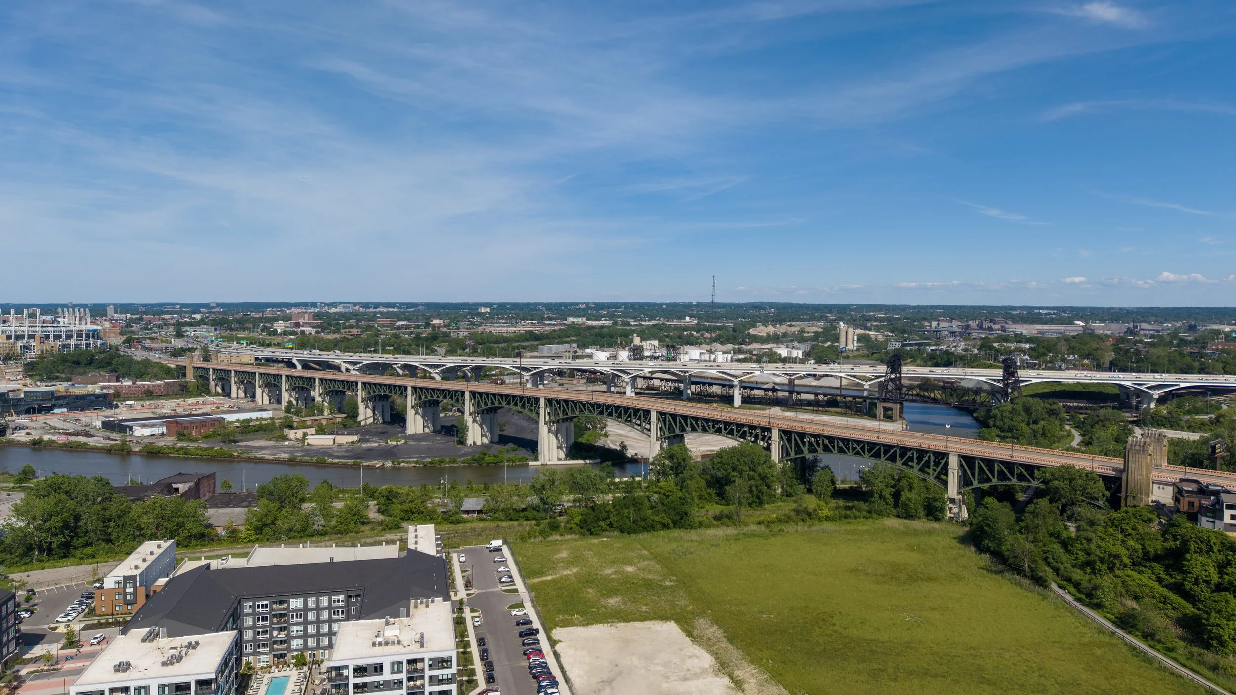
Drone Services and Building Documentation for Cleveland, Ohio.
Drone mapping, thermal roof inspections, 3D laser scanning, and aerial photography and video for architects, GCs, developers, and property teams across Cleveland and the surrounding area.
-
FAA Part 107
Licensed & Insured
-
Minutes, Not Days
Fast response
-
One Team
Whatever Data the Building Needs
-
Michigan-Based
Working across the Midwest
Cleveland's major healthcare institutions and active downtown and waterfront redevelopment make it one of Northeast Ohio's busiest building markets. Building Capture works throughout Cleveland and its surrounding area, including Lakewood, Parma, and Shaker Heights, delivering drone mapping, thermal roof inspections, 3D laser scanning, and aerial photography and video to architects, GCs, and property teams across the region.
BUILT FOR YOU
What we bring to Cleveland
-
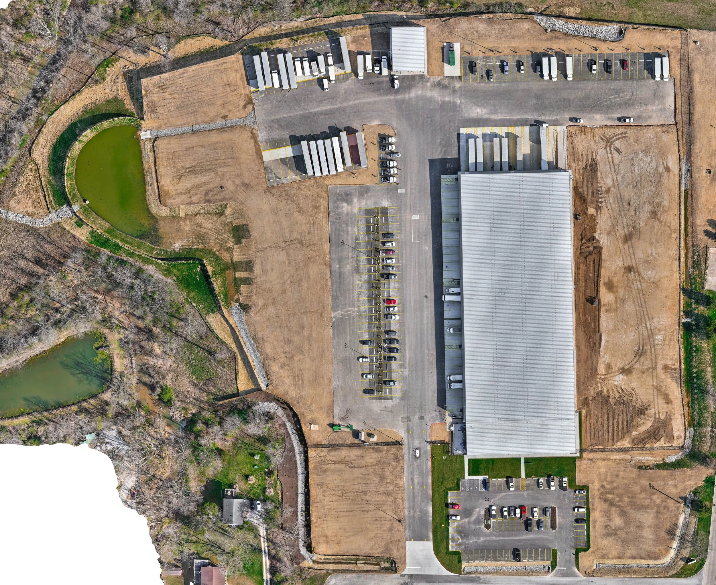
Drone Mapping & LiDAR Surveying
Survey-grade site mapping with topography, contours, orthomosaics, and point-cloud deliverables.
-
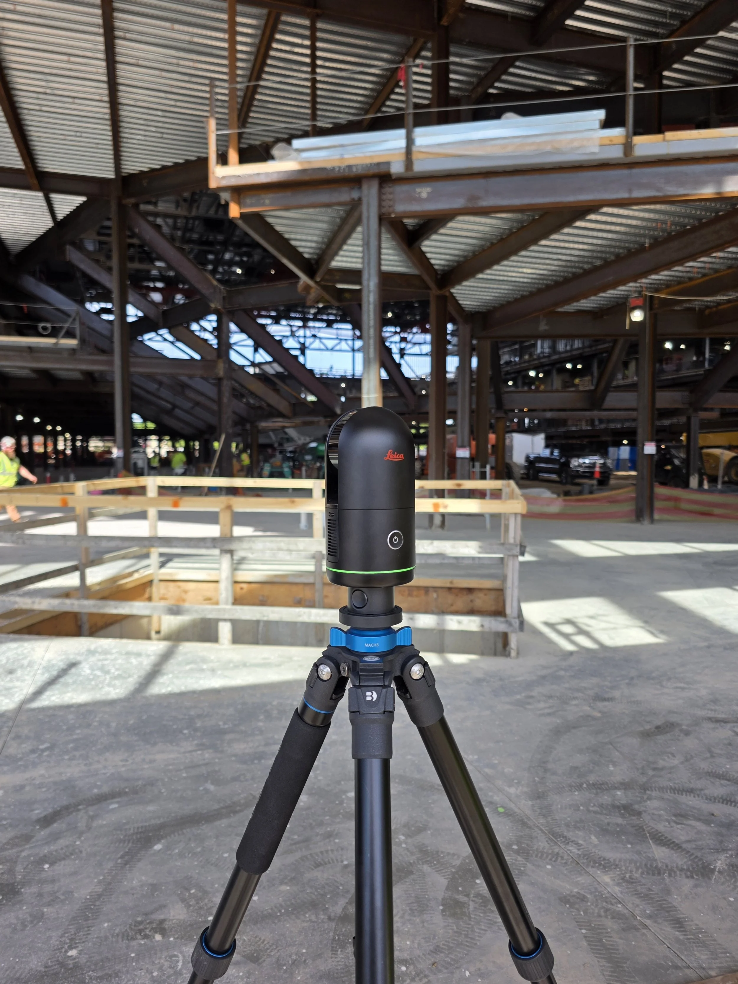
3D Laser Scanning
High-accuracy interior and exterior scanning that captures your building's exact existing conditions.
-
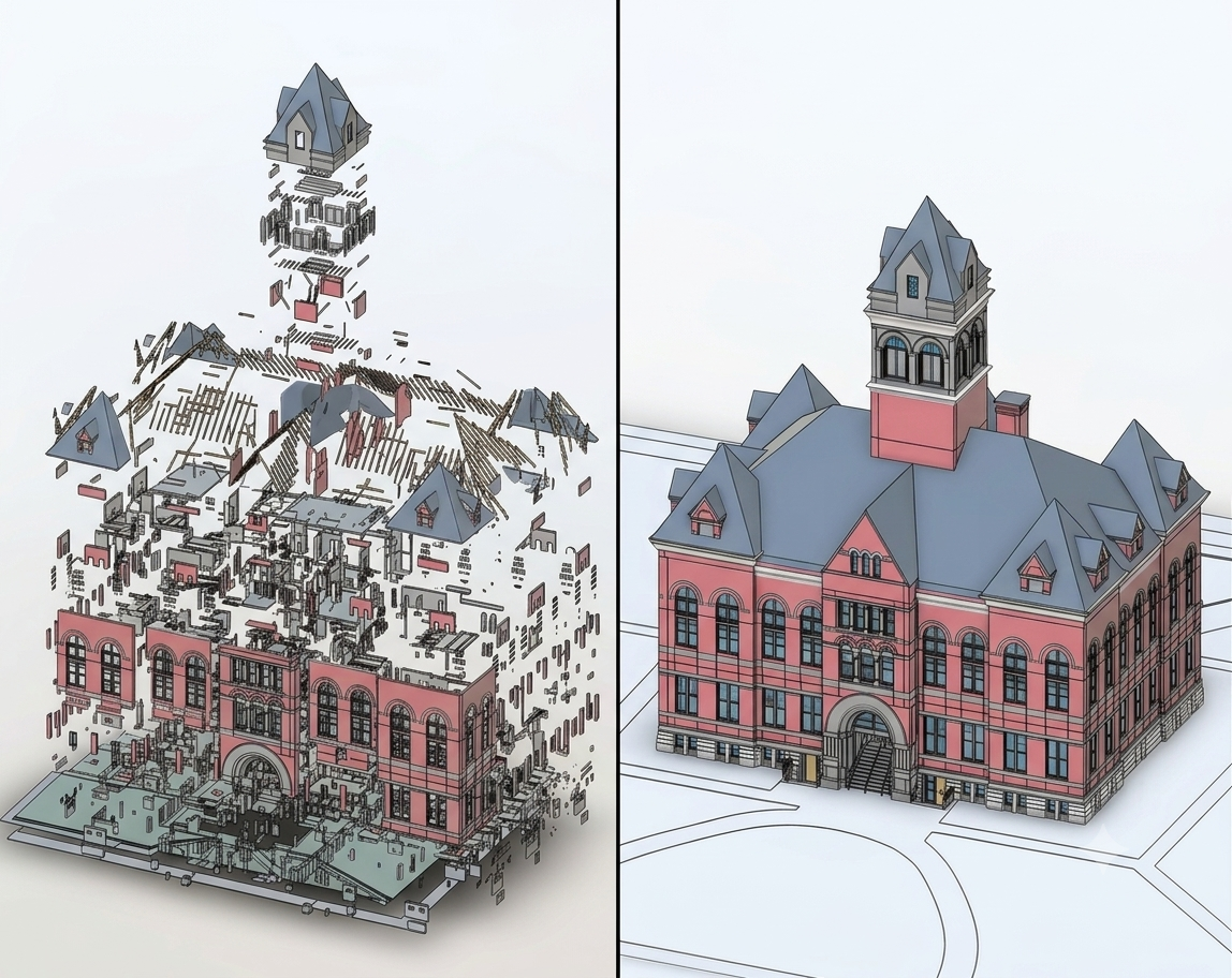
Scan-to-BIM
Accurate Revit and BIM models built from your point cloud, ready for architects and engineers to design in.
-
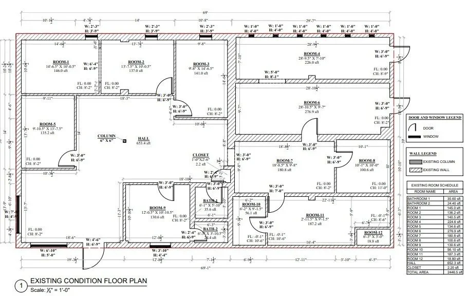
As-Builts and Floor Plans
Accurate 2D drawings of what's really there, including floor plans, reflected ceiling plans, elevations, and machinery layouts.
-
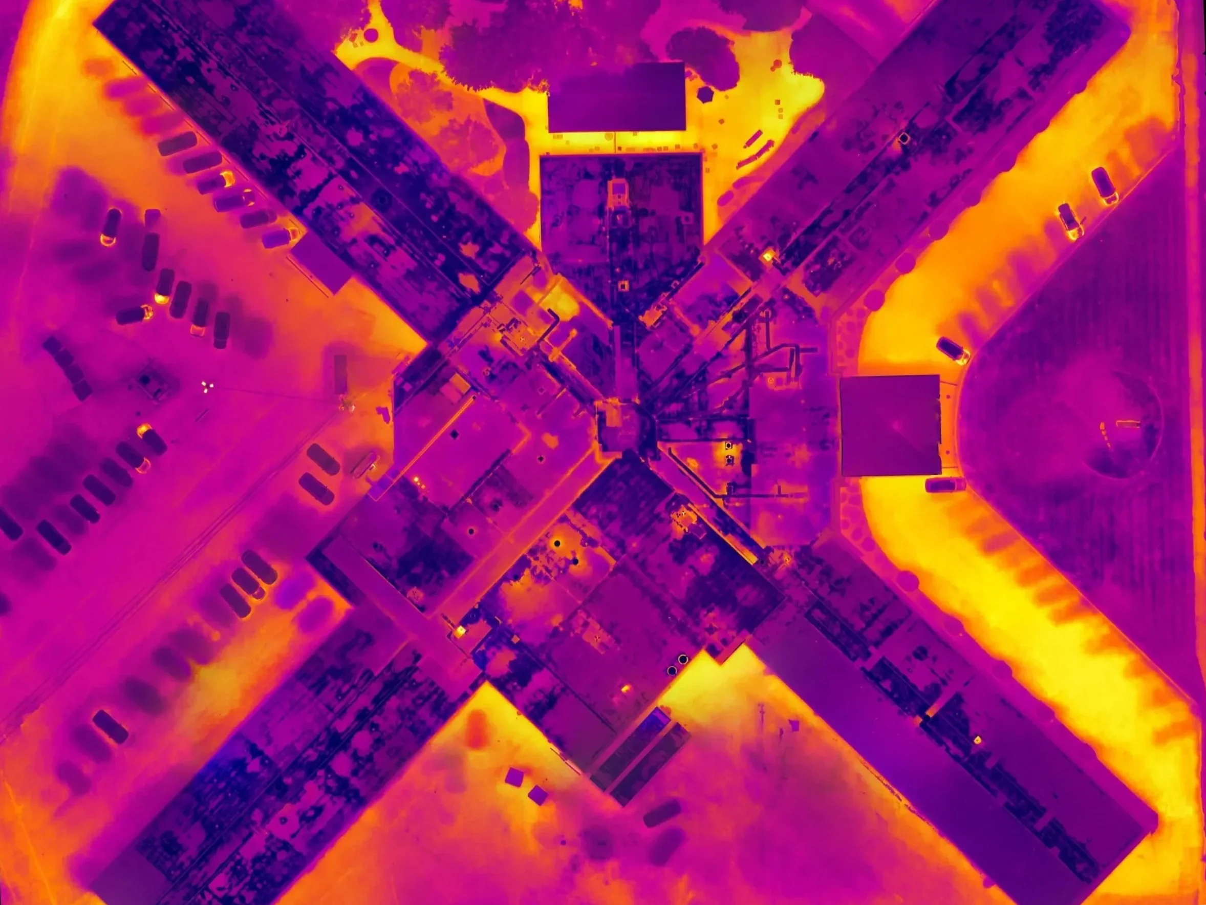
Drone Thermal Inspections
Aerial thermal imaging that finds trapped moisture and insulation issues before they become leaks and repairs.
-
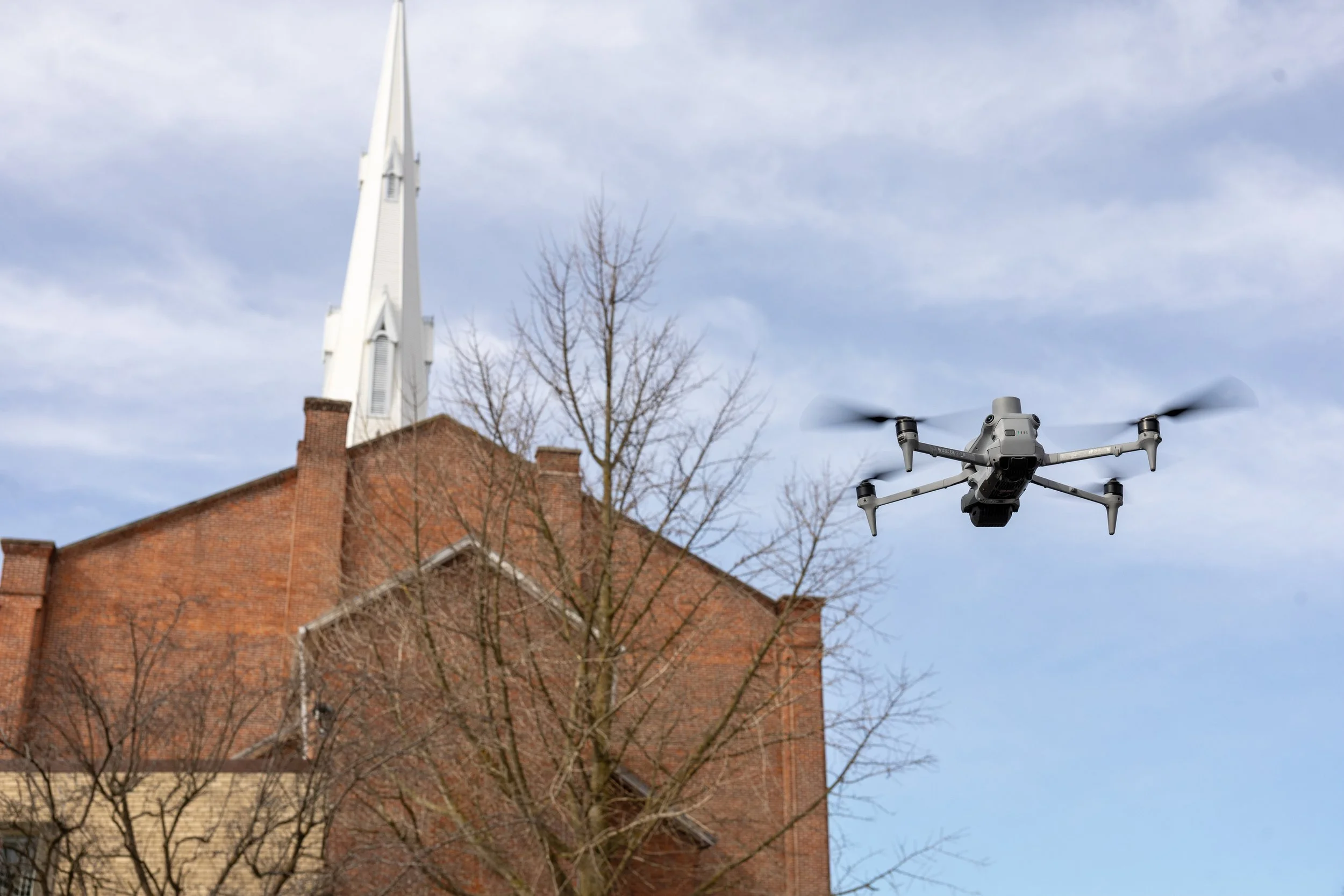
Drone Facade Inspections
Detailed visual, thermal, and dimensional inspection of building facades without scaffolding or swing stages.
-
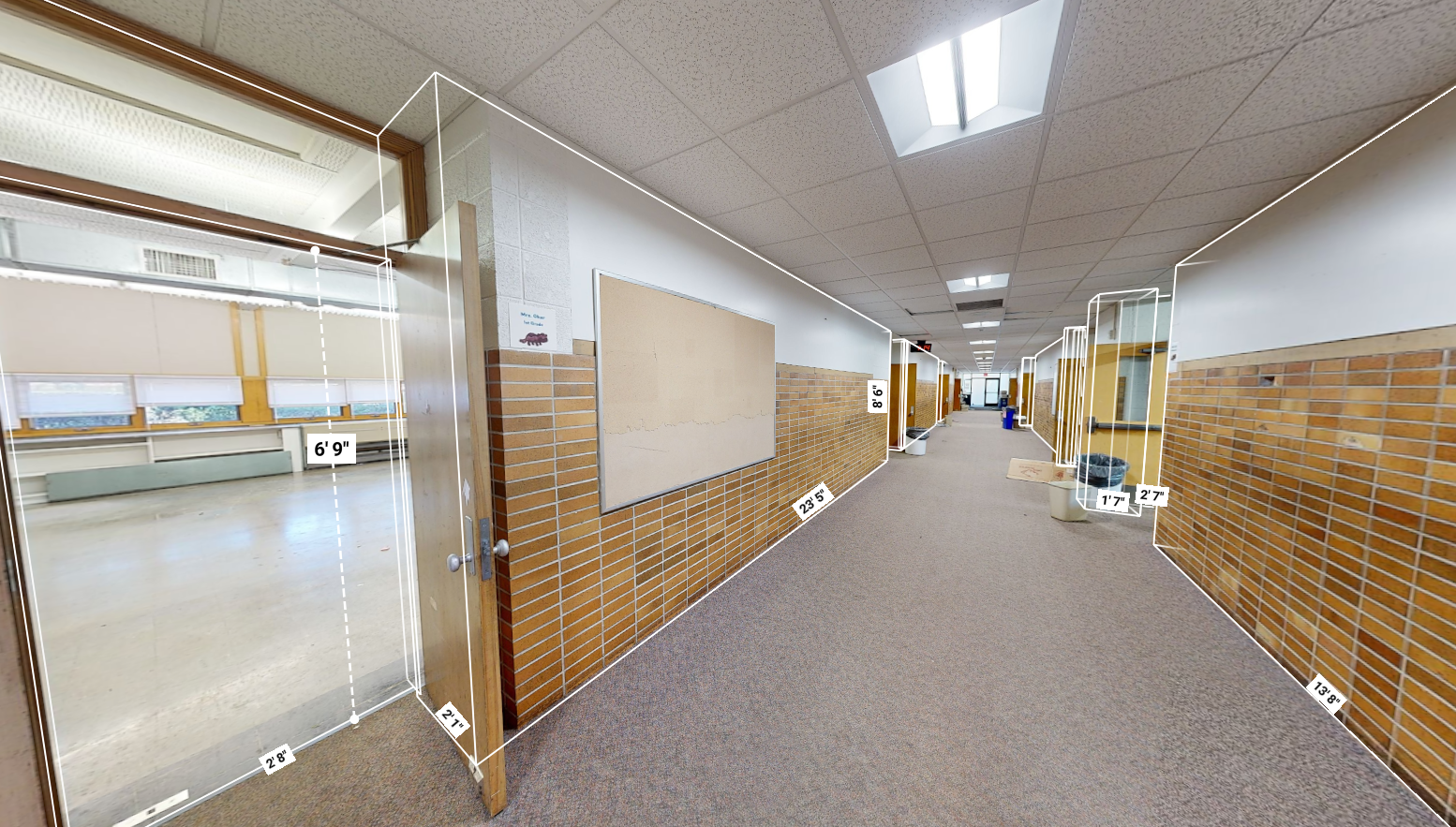
Matterport Virtual Tours
Interactive 3D tours that let clients or bidders walk a space from anywhere, with floor plans and measurements built in.
-
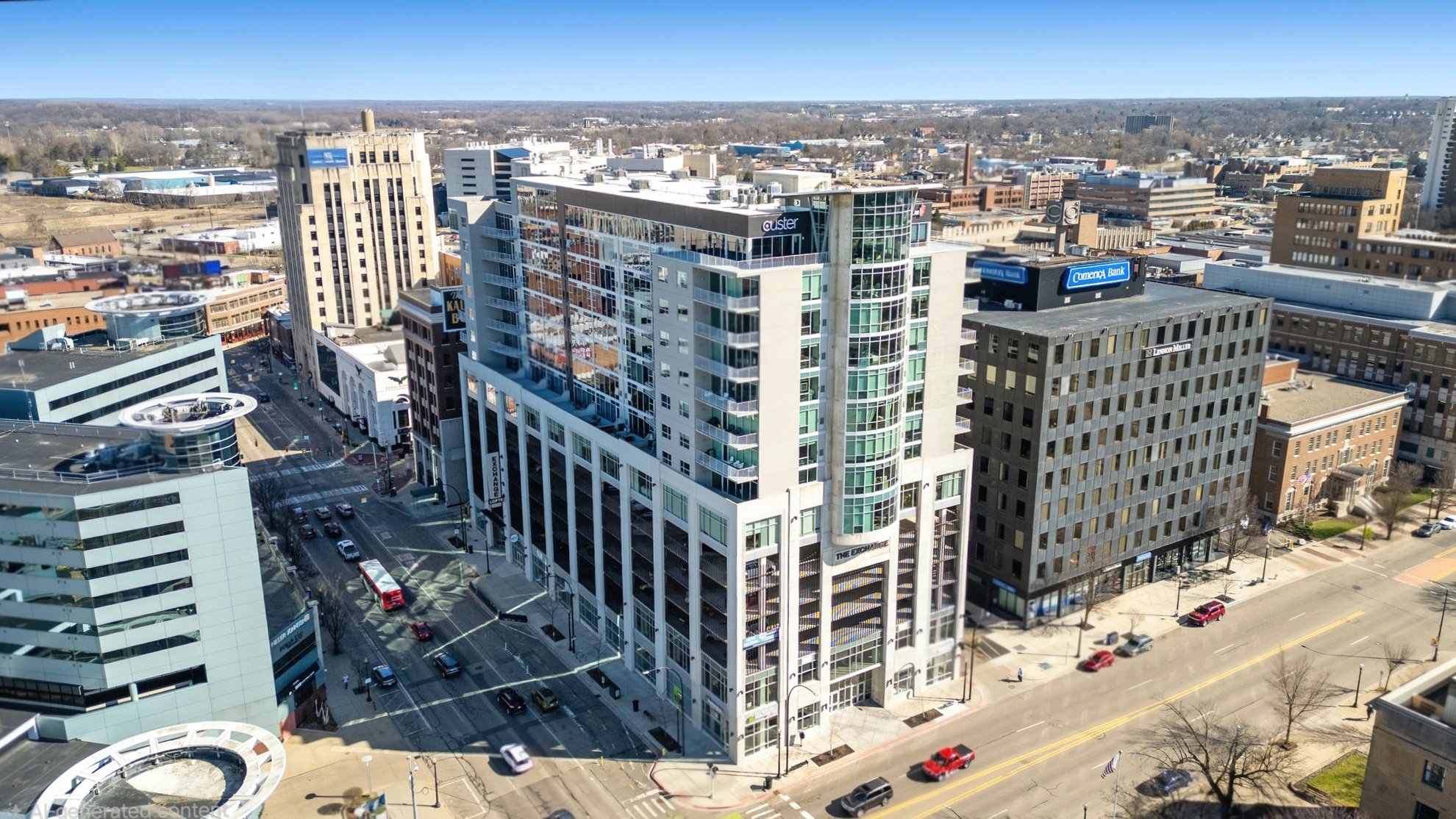
Drone Photography & Video
Aerial photography and video built for marketing your properties and showcasing your work.
-
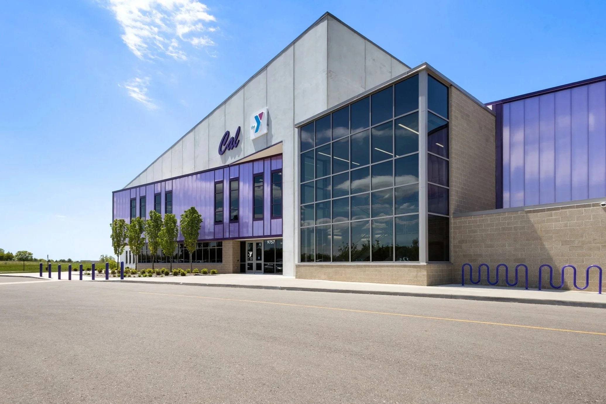
Building Photography
High-resolution interior and exterior photos that capture the whole building and the finished details that make your work stand out.
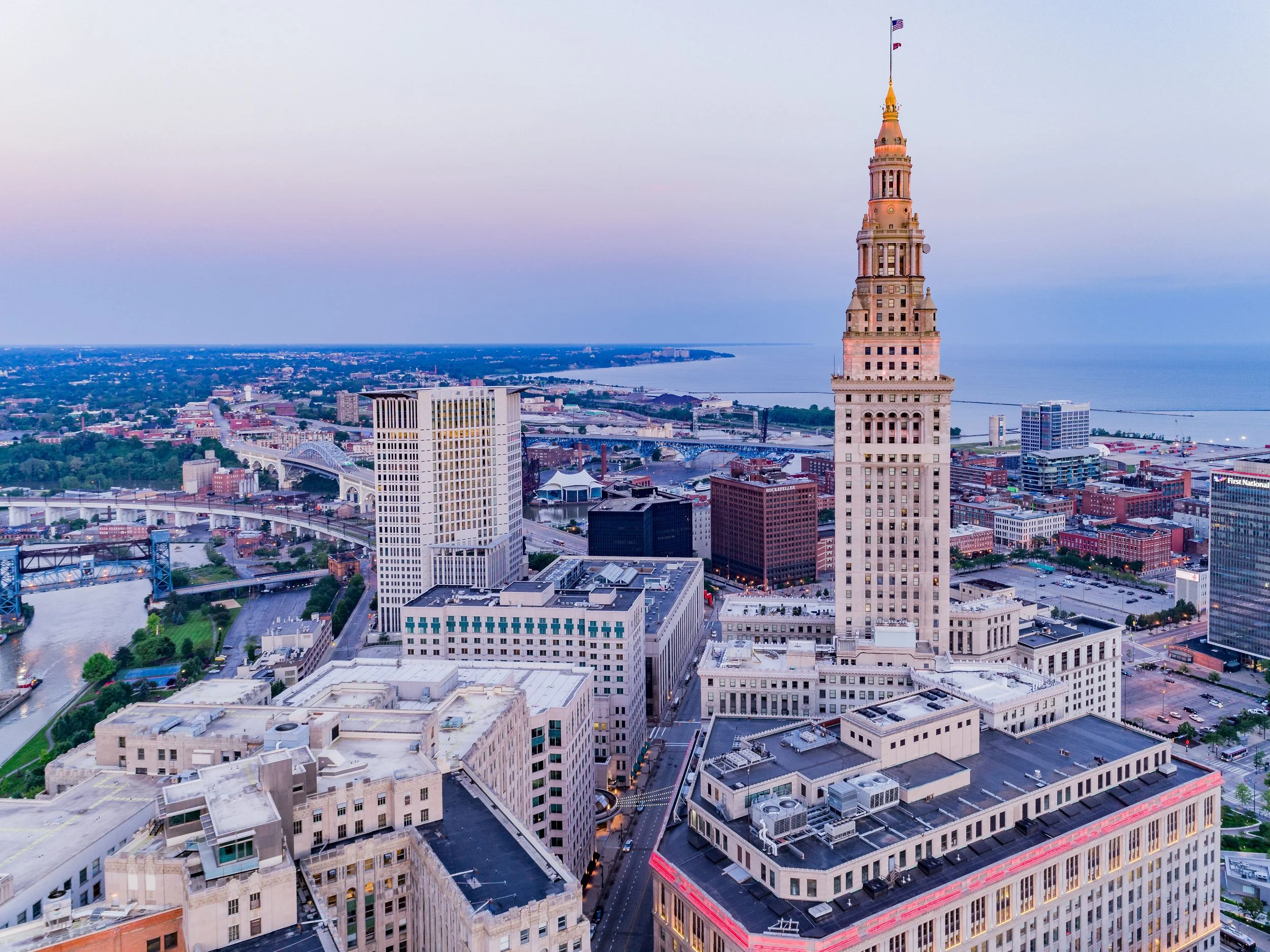
COVERAGE AREA
Serving Cleveland and the surrounding area
We travel to the Cleveland area for projects, and regularly work throughout Lakewood, Parma, and Shaker Heights, working with architects, GCs, and property teams throughout the region.
How Our Process Works
You Reach Out
Tell us about the project. Most inquiries hear back within minutes.
Get a fast quote
We scope the deliverables and send a quote, usually the same day.
We capture it
No matter the service, we often get you on the schedule within a week.
Fast delivery
We digitally deliver all processed files to you in whatever file formats you need.
WHY BUILDING CAPTURE
Why Choose Building Capture for your Cleveland project
Quick Response
Fast response and fast quoting mean fast scheduling. Speed is what we're built on.
All Capture Services From One Team
Drone mapping, thermal, 3D scanning, and photography and video, all from one team, in one visit when possible.
Licensed, Insured and Experienced
We are Part 107 licensed, insured with liability coverage, and we have over 1000 successful projects worth of experience across all services.
Frequently Asked Questions
We have no limit to how far we'll travel for a project. We cover Cleveland and nearby towns like Lakewood, Parma, and Shaker Heights.
We aim to work on your project as soon as your schedule allows. The fastest way to find out is to fill out a contact form. contact form
Yes, we are FAA Part 107 certified for commercial drone operations. We carry sufficient commercial liability insurance for every project.
Yes. Projects near controlled airspace, including Cleveland, require FAA authorization, which we handle as part of planning every flight.
Architects, general contractors, engineers, developers, property and facilities teams, and commercial roofers, among others. If it's a building, property, or structure, we probably have a service that fits.
Request A Quote
Tell us about your project and hear back within the hour.