
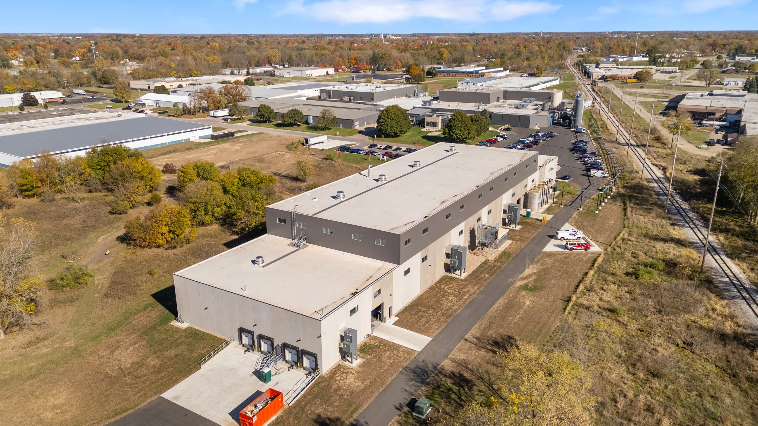
Plan plant changes without shutting down.
3D laser scanning, as-built documentation, drone inspections, and floor plans for manufacturers, plant engineers, and facilities teams — captured without stopping production.
-
Millimeter Accurate
Scan-to-BIM ready
-
No Downtime
Capture around your schedule
-
Whole Facility
Structure, equipment & MEP
-
Fast Turnaround
Models delivered in days
A plant expansion, new equipment line, or retrofit lives or dies on accurate existing-conditions data — and traditional surveying usually means downtime you can't afford. A 3D laser scan captures the entire facility, structure, and equipment in a single visit, on your schedule, so your engineers and contractors can plan changes against real dimensions instead of outdated drawings or guesswork.
BUILT FOR YOU
What we capture for manufacturing & industrial
3D Laser Scanning & Scan-to-BIM
Measured, scaled point clouds and BIM-ready models of your facility's existing conditions.
Drone & Facility Inspections
Roof, structure, and equipment inspections, including thermal, without lifts or shutdowns.
Floor Plans & As-Builts
Accurate layouts showing equipment placement and production flow, delivered as PDF and CAD-ready DXF/DWG or .e57.
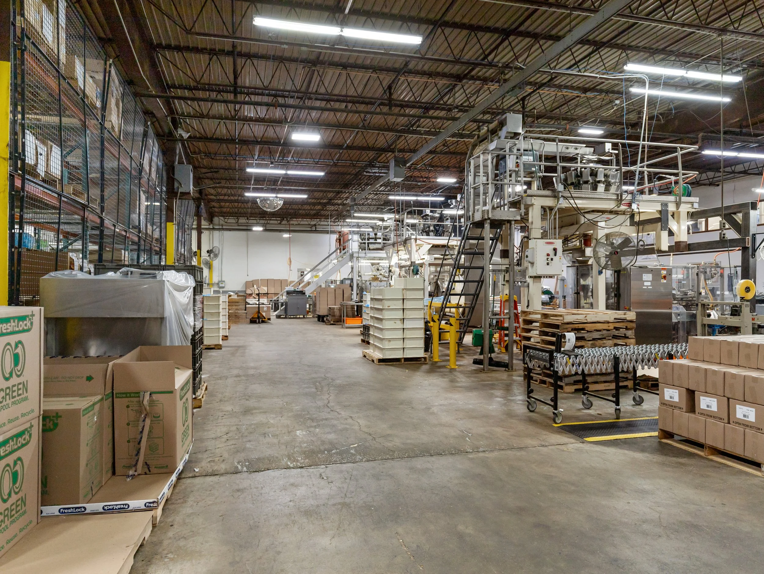
SCAN PLUS INSPECT
What we capture for manufacturing & industrial
We pair 3D laser scanning with drone and interior inspection in the same trip, so you get the existing-conditions model and the condition assessment together, without coordinating two vendors or two shutdowns. It's the kind of complete facility data a scan-only or drone-only shop can't deliver on its own.
HOW IT WORKS
How we scan your facility
Scope & schedule
We confirm the facility, access, safety requirements, and any shift or downtime constraints.
Capture
We scan and inspect the facility in one visit, working around your production schedule.
Process
We process the point cloud, model, and floor plans, and review inspection findings.
Deliver
You get the model, plans, and findings in the formats your team already works in.
DELIVERABLES
What you'll receive
Measured 3D point cloud
A full point cloud of the facility, structure, and equipment.
Scan-to-BIM model
Available on request for teams working in Revit or similar BIM software
Floor plans
Delivered as PDF, plus CAD-ready DXF/DWG or .e57.
Drone & interior imagery
Inspection-grade imagery of roof, structure, and equipment.
Equipment & structure documentation
Clear records of what's in the space, not just the shell.
Accurate measurements
Dimensions you can plan equipment moves and retrofits against.
WHY BUILDING CAPTURE
Fast, accurate, and easy to work with
Speed you can build around
We move fast and work around your production schedule, including off-hours and weekend capture when downtime isn't an option.
Drone plus ground
Aerial, interior, and equipment-level capture in one visit. Most firms only do one. We capture the whole facility.
Local & insured
Part 107 certified, fully insured with COI on request, based in southwest Michigan and serving the region and nationwide.
Frequently Asked Questions
-
Yes. We schedule around shifts, downtime windows, or off-hours so scanning doesn't interrupt production.
-
Yes. We capture structure, equipment, racking, and MEP in the same scan, so the model reflects what's actually in the space, not just the shell.
-
Point clouds, floor plans in PDF, and CAD-ready DXF/DWG or .e57. Scan-to-BIM models are available on request.
-
Millimeter-level accuracy, suitable for planning equipment moves, retrofits, and expansions against real dimensions.
-
Home base is southwest Michigan, serving Kalamazoo, Grand Rapids, Battle Creek, Detroit, Chicago, and nationwide for larger jobs.
-
Yes. FAA Part 107 certified for commercial drone operations, fully insured.
-
Manufacturers, warehouses, distribution centers, and plants of all sizes — if it's a facility with equipment and production flow to document, we probably have a service that fits.
Request A Quote
Tell us about your project and hear back within the hour.