
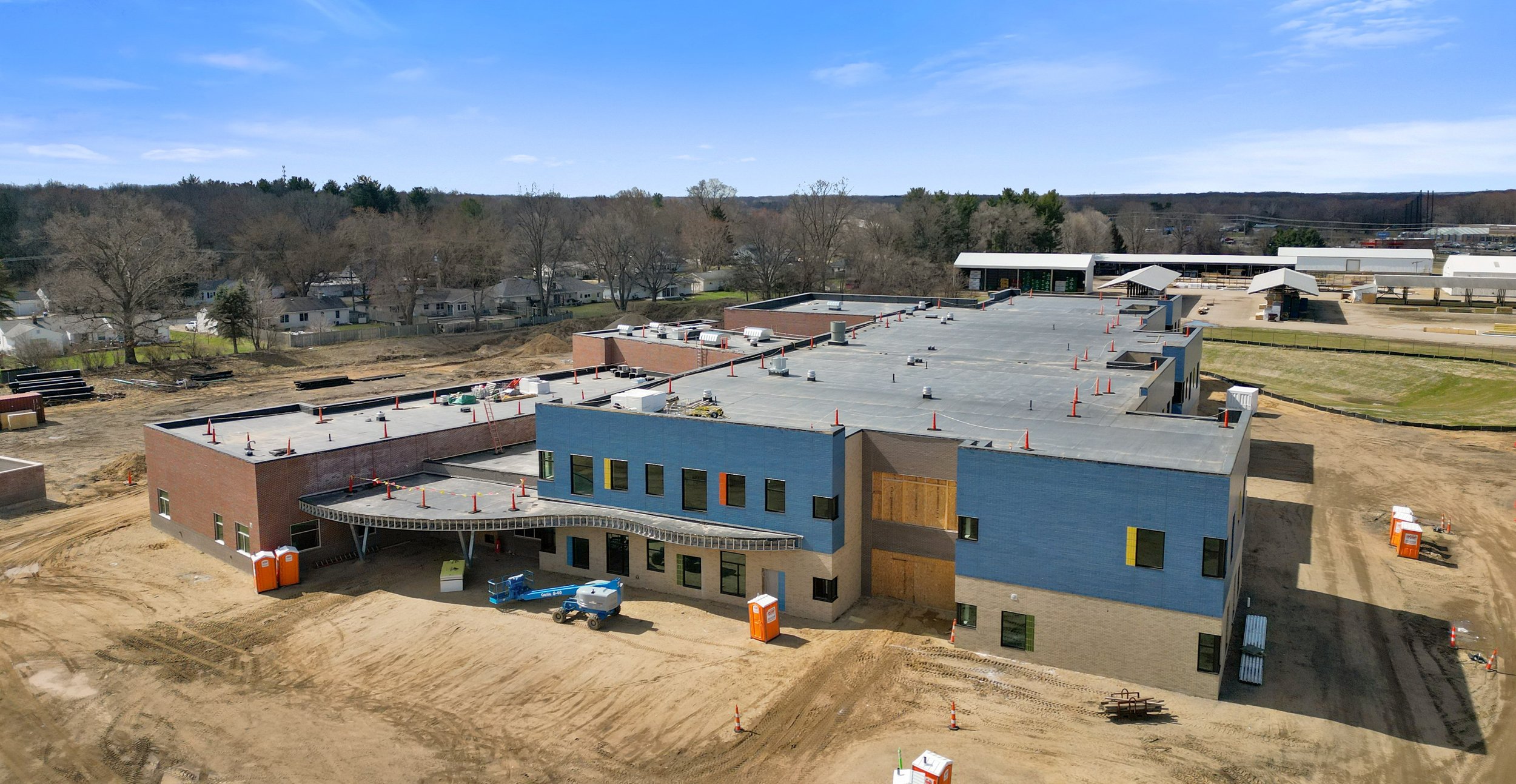
Plan your next building project without disrupting a school day.
Drone mapping, progress documentation, and roof and facility condition data for school districts, construction managers, and architects — scheduled around the school calendar, not against it.
-
Multi-Building
Every campus in your program
-
Scheduled Around School
Weekends, breaks & after-hours
-
Recurring Cadence
Monthly or biweekly mapping
-
Fast Turnaround
Data delivered in days
A bond program, addition, or new wing can touch a dozen buildings over several years — and keeping a board, a construction manager, and a facilities office all working from the same accurate picture is its own project. Drone mapping and progress documentation give everyone the same up-to-date view of every building in the program, captured on a schedule built around the school calendar instead of interrupting it.
BUILT FOR YOU
What we capture for schools & education
Drone Mapping & Progress Documentation
Recurring aerial mapping across every building in your program, delivered into DroneDeploy or the platform your team already uses.
Roof & Facility Inspections
Thermal and visual roof and facility inspections that catch moisture and wear early, without a lift or foot traffic on an aging roof.
Existing Conditions & Floor Plans
Accurate as-built data for renovations, additions, and new construction, delivered as PDF and CAD-ready DXF/DWG or .e57.
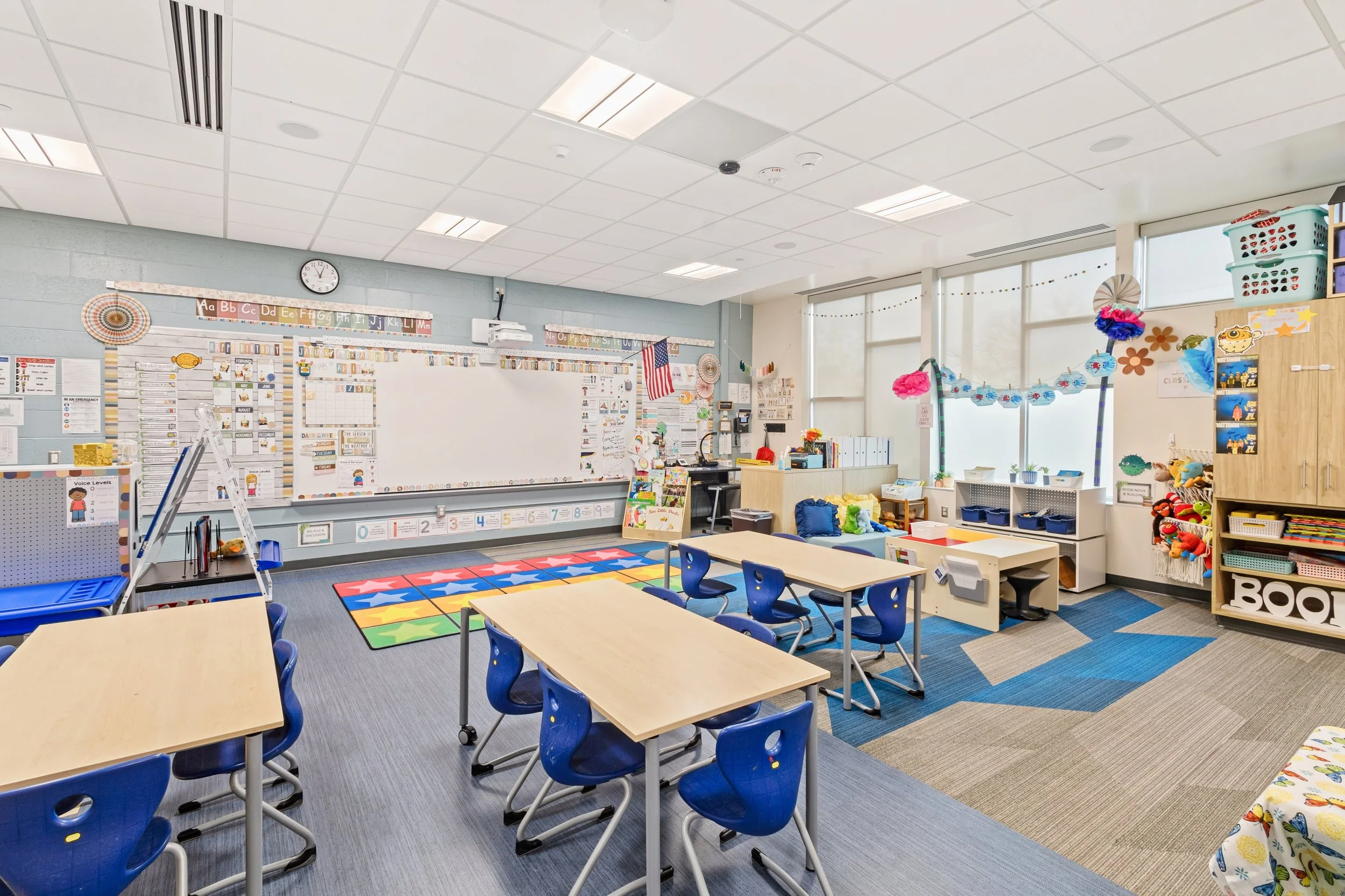
ONE TEAM, EVERY CAMPUS
A single point of contact across your whole district
Most school building programs span years and touch a dozen or more buildings — a bond program, a new wing, an early childhood center, a roof-replacement rotation. Coordinating a different vendor for every site visit is friction your construction manager or facilities office doesn't need. We run the same team on a recurring monthly or biweekly rhythm across every building in the program — the kind of ongoing documentation partnership construction managers running multi-school projects already rely on us for today.
HOW IT WORKS
How we document your building program
Scope & schedule
We confirm every building in the program, access, safety requirements, and any school-day or event blackout windows.
Capture
We fly and inspect on your schedule — weekends, breaks, after-hours — with minimal disruption to students and staff.
Process
We process maps, models, and inspection findings for each building in the program.
Deliver
You get organized, building-by-building data in the formats your team and board already use.
DELIVERABLES
What you'll receive
Aerial maps & orthomosaics
Delivered into DroneDeploy or the mapping platform your team already uses.
Roof & facility condition imagery
Visual and thermal, building by building, so you know what needs attention before it's an emergency.
Existing conditions & as-builts
Accurate data for renovation, addition, and early learning center planning.
Floor plans
Delivered as PDF, plus CAD-ready DXF/DWG or .e57.
Progress photo & video
For board updates, bond program communication, and the community.
Building-by-building archive
An organized, running record across your program — not a folder of one-off files.
WHY BUILDING CAPTURE
Fast, accurate, and easy to work with
Built for multi-building programs
We already run a recurring documentation rhythm for construction managers overseeing multi-campus school building programs — one team that knows your buildings, not a new vendor for every site visit.
Scheduled around the school day
Capture during weekends, breaks, and after-hours, so class time and student safety come first.
Local & insured
Part 107 certified, fully insured with COI on request, based in southwest Michigan and serving the region and nationwide.
Frequently Asked Questions
-
Yes. We schedule capture for weekends, breaks, and after-hours so class time isn't disrupted.
-
Yes. Recurring monthly or biweekly mapping across every building in a program is exactly the rhythm we run for construction management partners today.
-
Yes. We're glad to complete whatever background check, badging, or check-in process your district requires — just let us know what's needed when we scope the project.
-
Millimeter-level accuracy, suitable for planning equipment moves, retrofits, and expansions against real dimensions.
-
Aerial maps into DroneDeploy or your preferred platform, PDF and CAD-ready floor plans and as-builts (DXF/DWG or .e57), and photo/video for board and community updates.
-
Yes. Thermal and visual drone inspection lets us assess moisture and wear without walking the roof or bringing in a lift.
-
Home base is southwest Michigan, serving districts across the state and nationwide for larger programs.
-
Yes. FAA Part 107 certified for commercial drone operations, fully insured, COI available on request.
Request A Quote
Tell us about your project and hear back within the hour.