
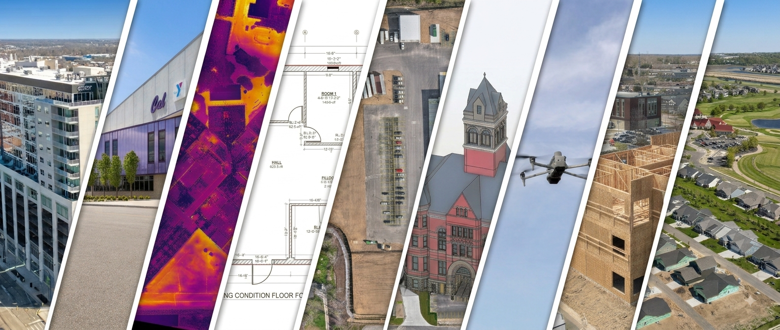
Interior, exterior, and aerial data capture, one team.
From survey-grade site data to marketing-grade visuals, we capture, process, and deliver it all. Explore what we do.
WHAT WE DO
Every capability, one team
-
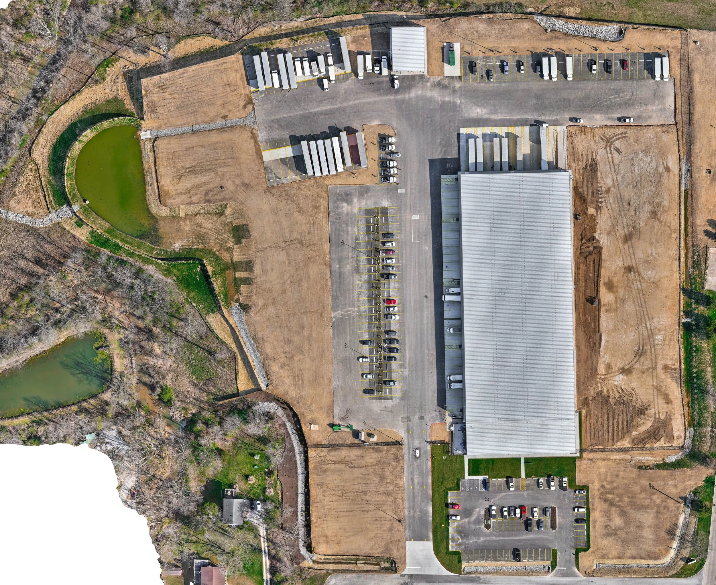
Drone Mapping & LiDAR Surveying
Survey-grade site mapping with topography, contours, orthomosaics, and point-cloud deliverables.
-
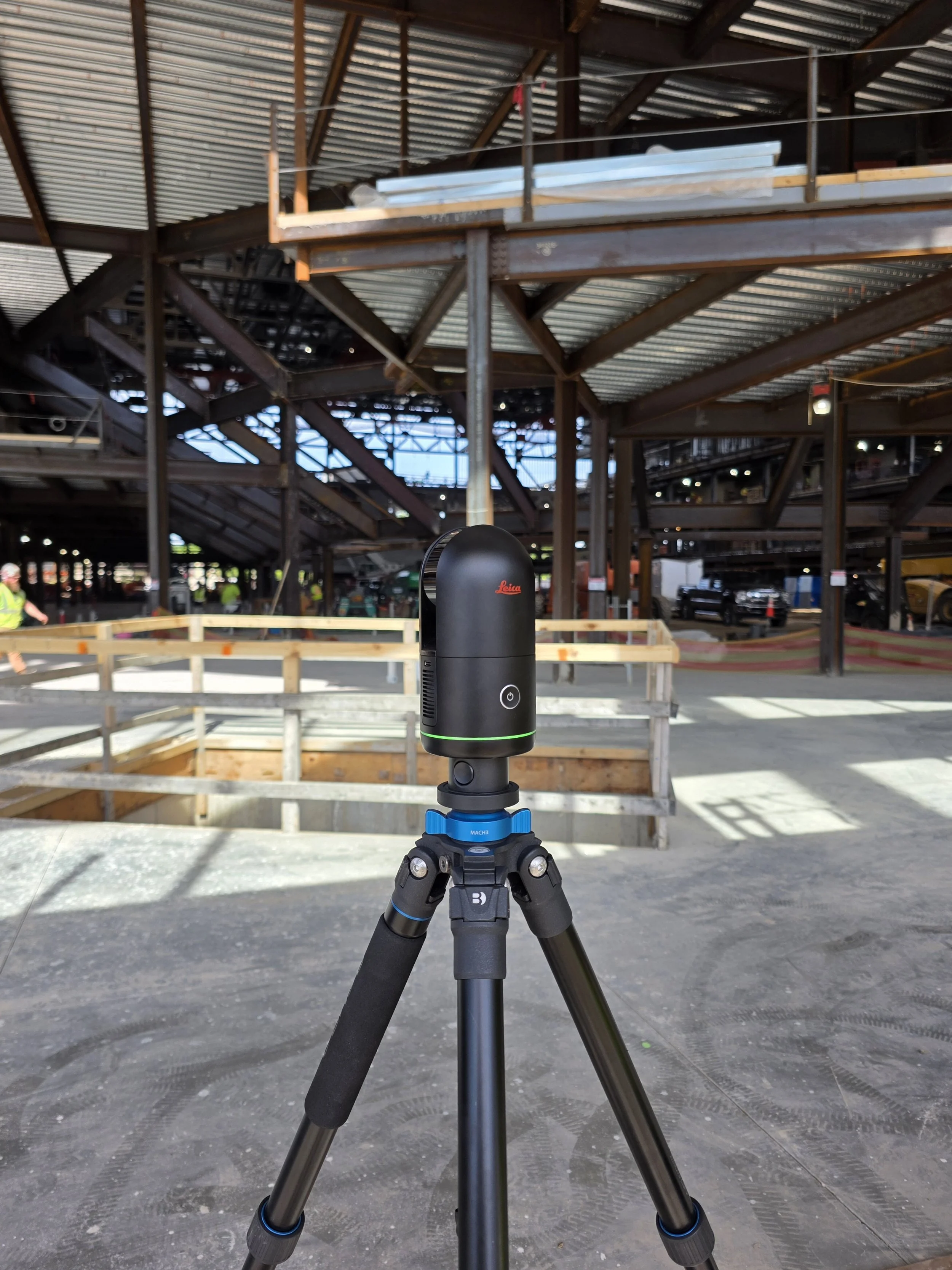
3D Laser Scanning
High-accuracy interior and exterior scanning that captures your building's exact existing conditions.
-
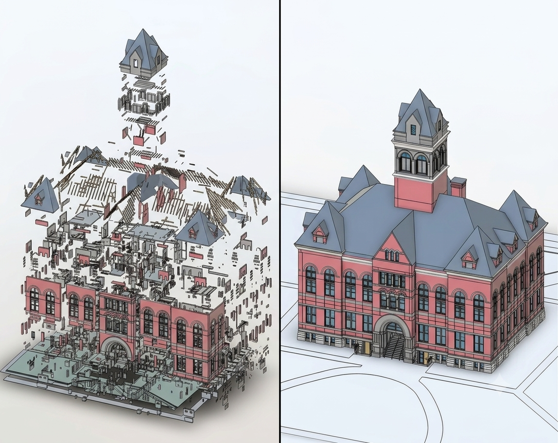
Scan-to-BIM
Accurate Revit and BIM models built from your point cloud, ready for architects and engineers to design in.
-
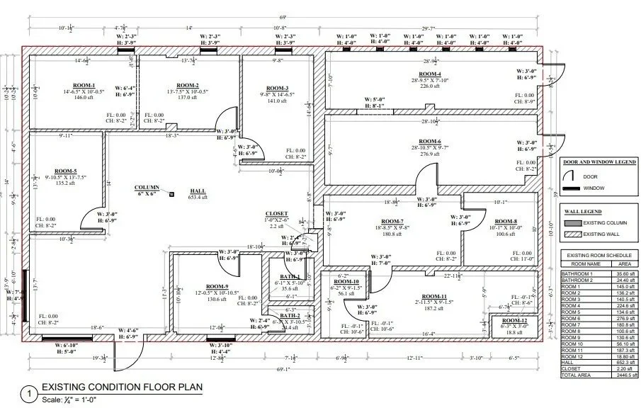
As-Builts and Floor Plans
Accurate 2D drawings of what's really there, including floor plans, reflected ceiling plans, elevations, and machinery layouts.
-
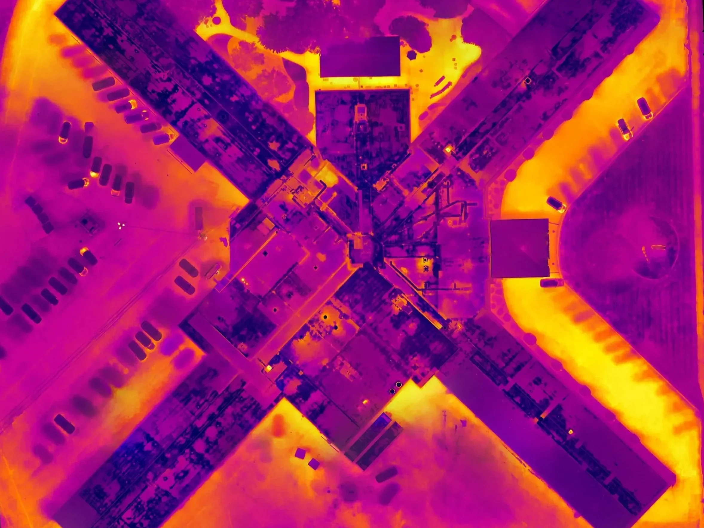
Drone Thermal Inspections
Aerial thermal imaging that finds trapped moisture and insulation issues before they become leaks and repairs.
-
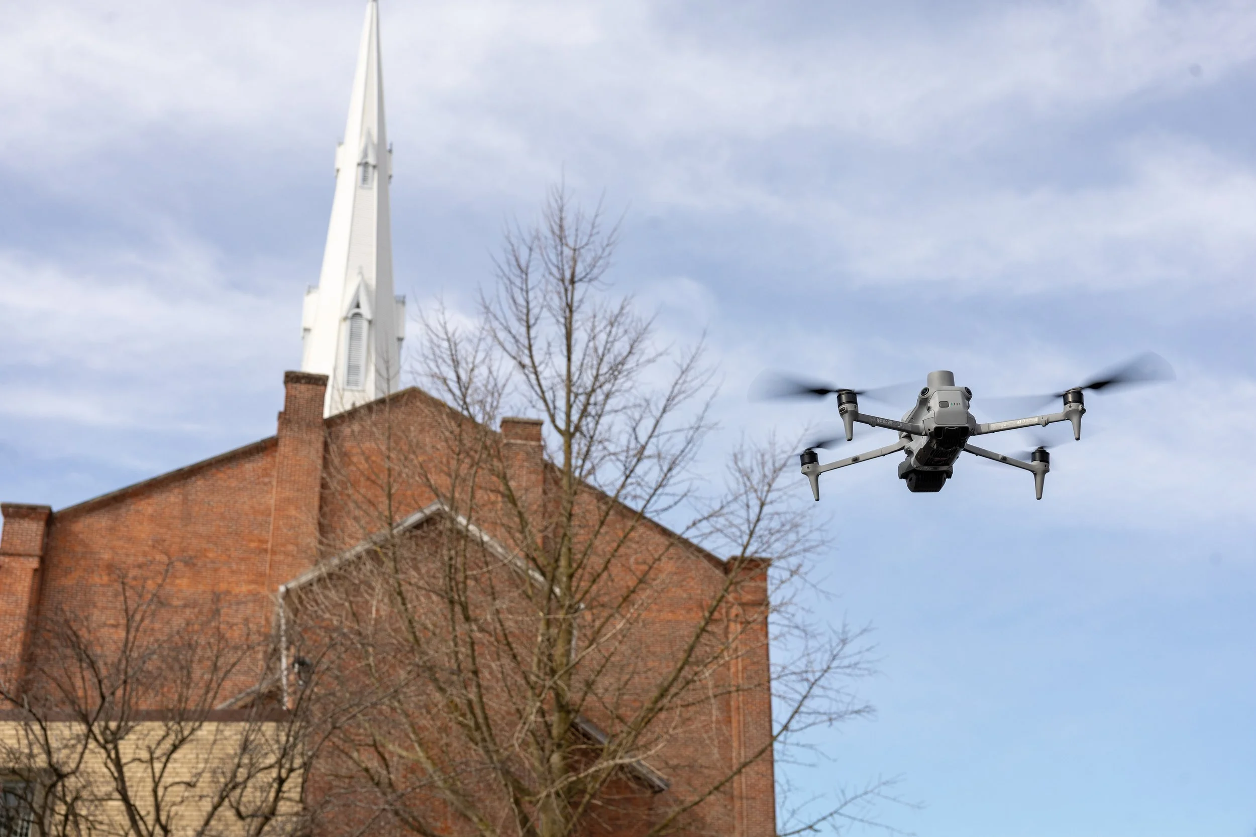
Drone Facade Inspections
Detailed visual, thermal, and dimensional inspection of building facades without scaffolding or swing stages.
-
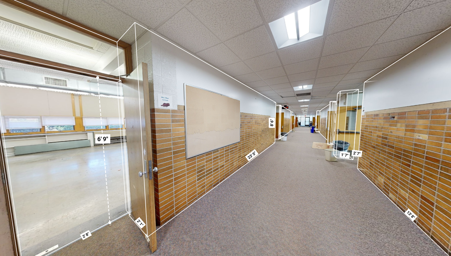
Matterport Virtual Tours
Interactive 3D tours that let clients or bidders walk a space from anywhere, with floor plans and measurements built in.
-
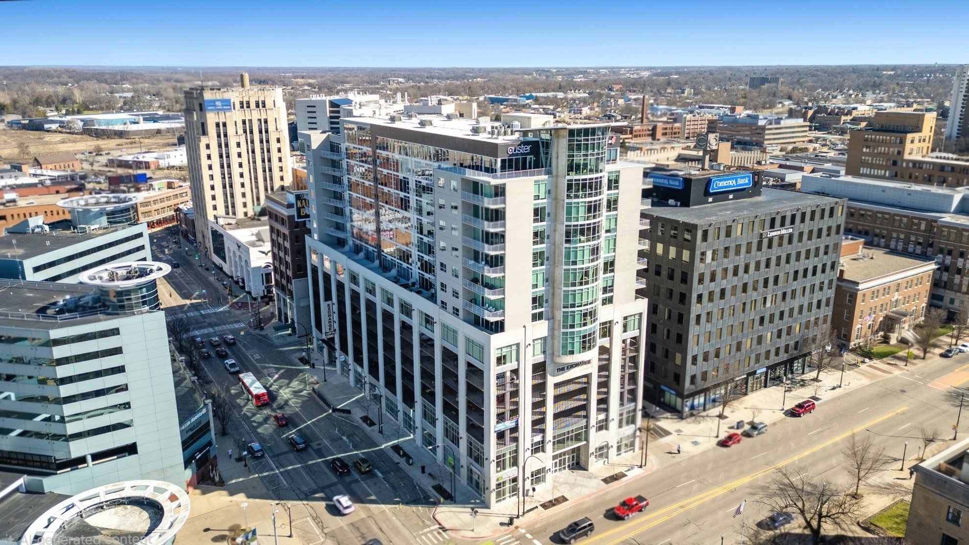
Drone Photography & Video
Aerial photography and video built for marketing your properties and showcasing your work.
-
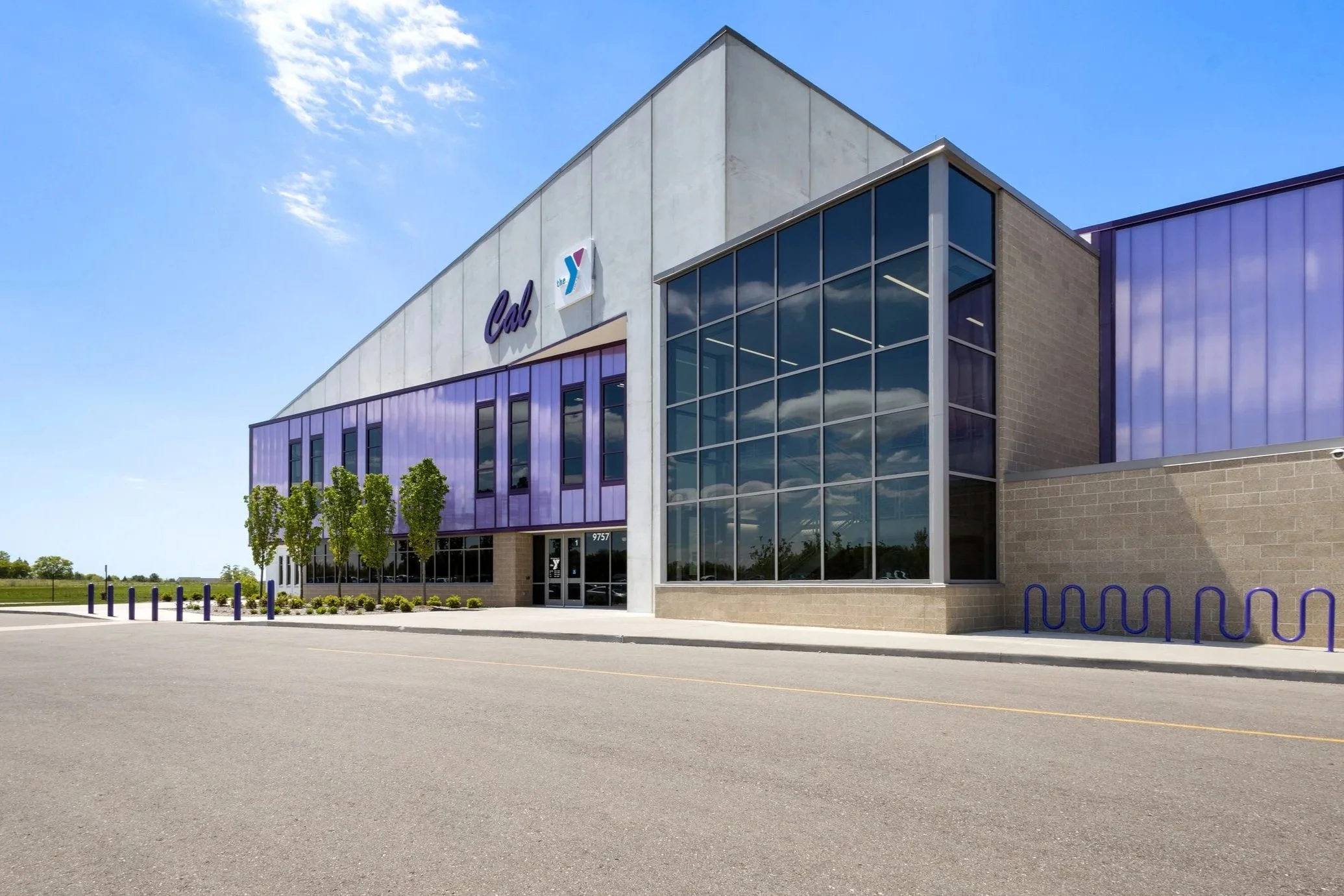
Building Photography
High-resolution interior and exterior photos that capture the whole building and the finished details that make your work stand out.
Request A Quote
Tell us about your project and hear back within the hour.