
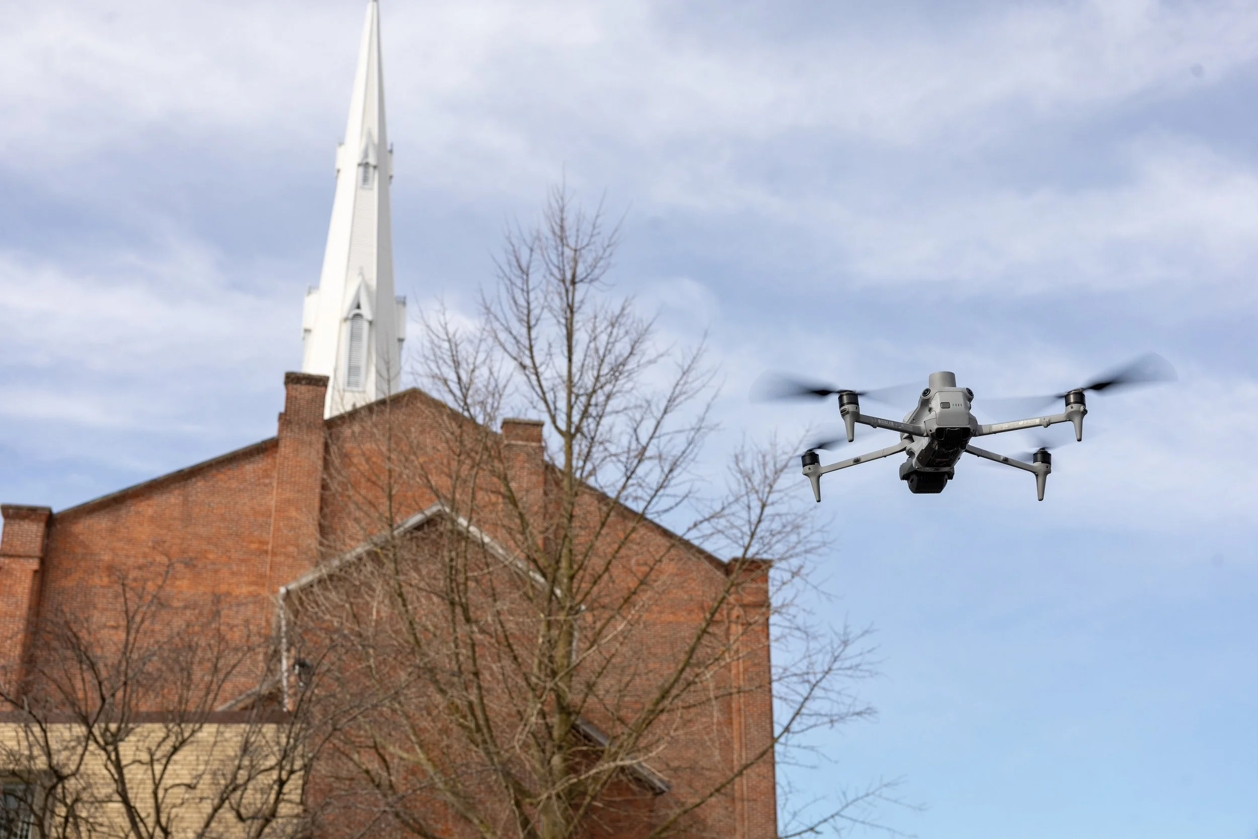
FAA PART 107 LICENSED · DRONE FACADE INSPECTIONS
Spot facade problems before they get expensive
We put a high-resolution camera right up to every elevation of your building, so cracks, spalling, and moisture show up early, while they are still small and cheap to fix. Flown by FAA Part 107 licensed, insured pilots, nationwide. Owners and property managers catch issues sooner. Engineers and restoration teams get the imagery and data they need to act. No scaffolding, no swing stage, no closed sidewalk.
-
FAA Part 107
Licensed, insured pilots
-
Every Elevation
The whole facade
-
Visual / Thermal / 3D
Pick what fits
-
No Scaffolding
No sidewalk closure
-
Nationwide
Coverage
WHY IT MATTERS
Small cracks get expensive when nobody sees them
THREE WAYS TO LOOK AT IT
Pick the look your building needs
These are options, not a bundle. Use one, or combine them. Tell us what you are trying to find and we will tell you what fits the building.
-
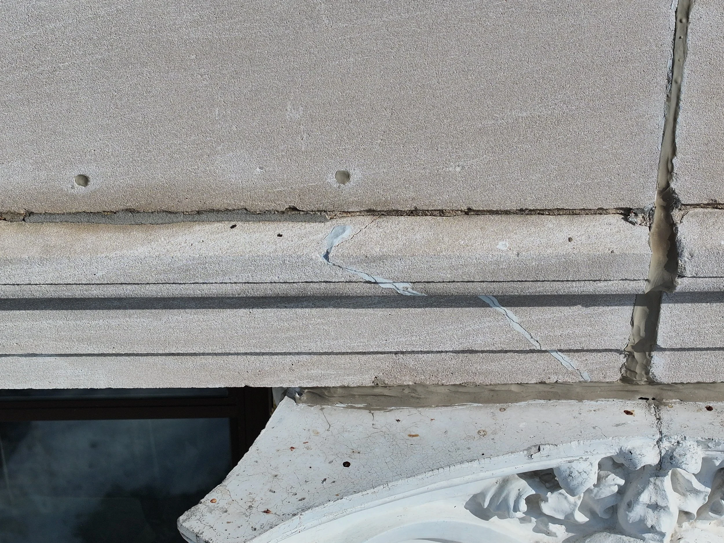
Visual inspection for crack detection
High-resolution imagery of every elevation, close enough to see hairline cracking, spalling, displaced or loose masonry, sealant failure, and trouble at parapets, cladding, and EIFS. Each finding is tied to where it actually is on the building, so nothing is just "somewhere on the north wall."
-
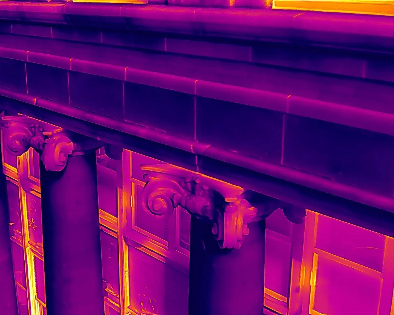
Thermal inspection for heat loss and moisture
Thermal imaging that surfaces heat loss and signs of moisture or air intrusion behind the cladding. These are the problems a normal photo cannot show, and the ones that quietly do the most damage.
-
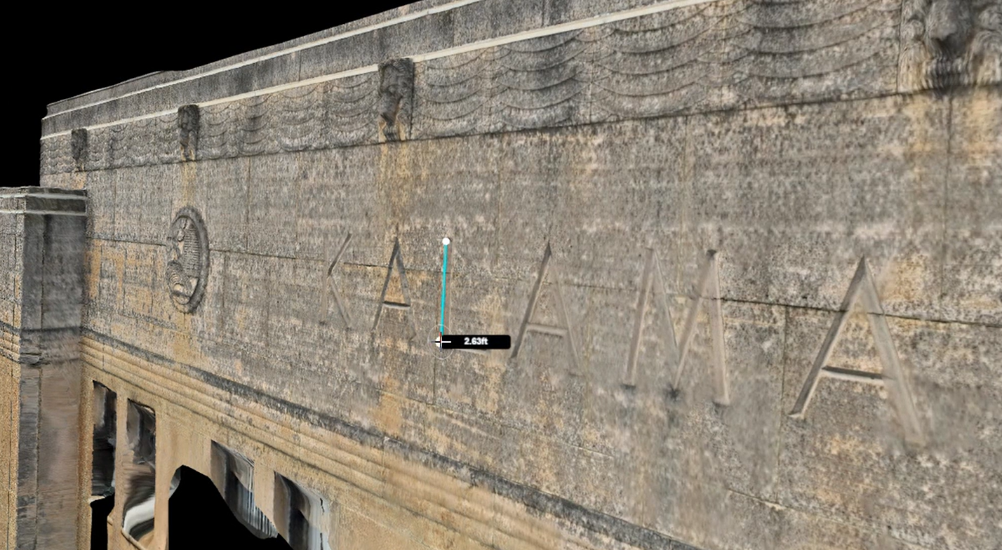
A 3D model for full context
A navigable 3D model of the facade that puts every finding in context, so the whole team is looking at the same building instead of a folder of loose photos.
WHO IT’S FOR
One flight, useful to everyone on the building
Property managers & building owners
Catch issues across a building or a whole portfolio before they become emergencies, and document condition on your own schedule instead of waiting for the next required cycle. Owners and national property-management teams can come straight to us.
Facade & structural engineers
Get the high-resolution imagery, thermal, and 3D context your assessment needs, captured safely and fast. Spend your time on the analysis, not on a swing stage. We hand you the data. You own the findings and the certification.
Restoration & GC contractors
Scope the work from real imagery and a measured model. Know what you are bidding before the lift ever goes up, and document the wall before, during, and after the repair.
Drone vs swing stage, boom lift, and scaffolding
| Drone | Swing stage / boom / scaffolding | |
|---|---|---|
| Setup | Up and capturing in minutes | Days to rig, plus permits and equipment |
| The whole facade | Every elevation in one visit | Section by section, slow |
| Safety | Crew stays on the ground | People working at height |
| Sidewalk & lanes | No closures | Permits, closures, flagging |
| Tenants | No disruption | Noise, access issues, disruption |
| Speed & cost | Faster and more cost-effective | Slow and expensive |
How Our Process Works
Scope & airspace check
Tell us the building and what you are trying to find. We confirm the plan and check airspace, filing LAANC ahead of time if the site needs it.
On-site capture
An FAA Part 107 licensed, insured pilot flies every elevation, capturing visual, thermal, or 3D as scoped. Up and working in minutes, no rigging and no closures.
Process & organize
We organize the imagery by elevation, build the 3D model, and pin the findings so anything worth a second look is easy to locate.
Deliver
You get annotated high-resolution imagery and a navigable 3D model, and we can summarize the findings in a PDF report for your engineer, owner, or whoever needs it. If we flag something that needs a closer look, we can come back for it.
Frequently Asked Questions
-
We provide the imagery, thermal, and 3D data of the facade, and your engineer uses it for their assessment. You get a clear, current look at every elevation to work from, captured without putting anyone on a swing stage.
-
Yes. We fly close with a high-resolution camera, so fine cracking, spalling, displaced or loose masonry, and sealant failure are visible, and we tie each finding to where it is on the building.
-
Thermal surfaces heat loss and signs of moisture or air getting in behind the cladding, the kind of thing a normal photo cannot show.
-
Context. Everyone opens the same navigable model with findings pinned in place, so there is no confusion about which floor or which crack, and your engineer and your restoration team are working from the same picture.
-
In most cases, no. The drone works from the air, so there is no scaffolding, no swing stage, no sidewalk closure, and no tenant disruption.
-
Yes. We work nationwide, which makes us a good fit for property-management companies with buildings in more than one market.
-
Yes. We fly with FAA Part 107 licensed, insured pilots and carry $2 million in commercial general liability insurance. We can provide a certificate of insurance if your building or owner requires one.
Request A Quote
Tell us about your project and hear back within the hour.