
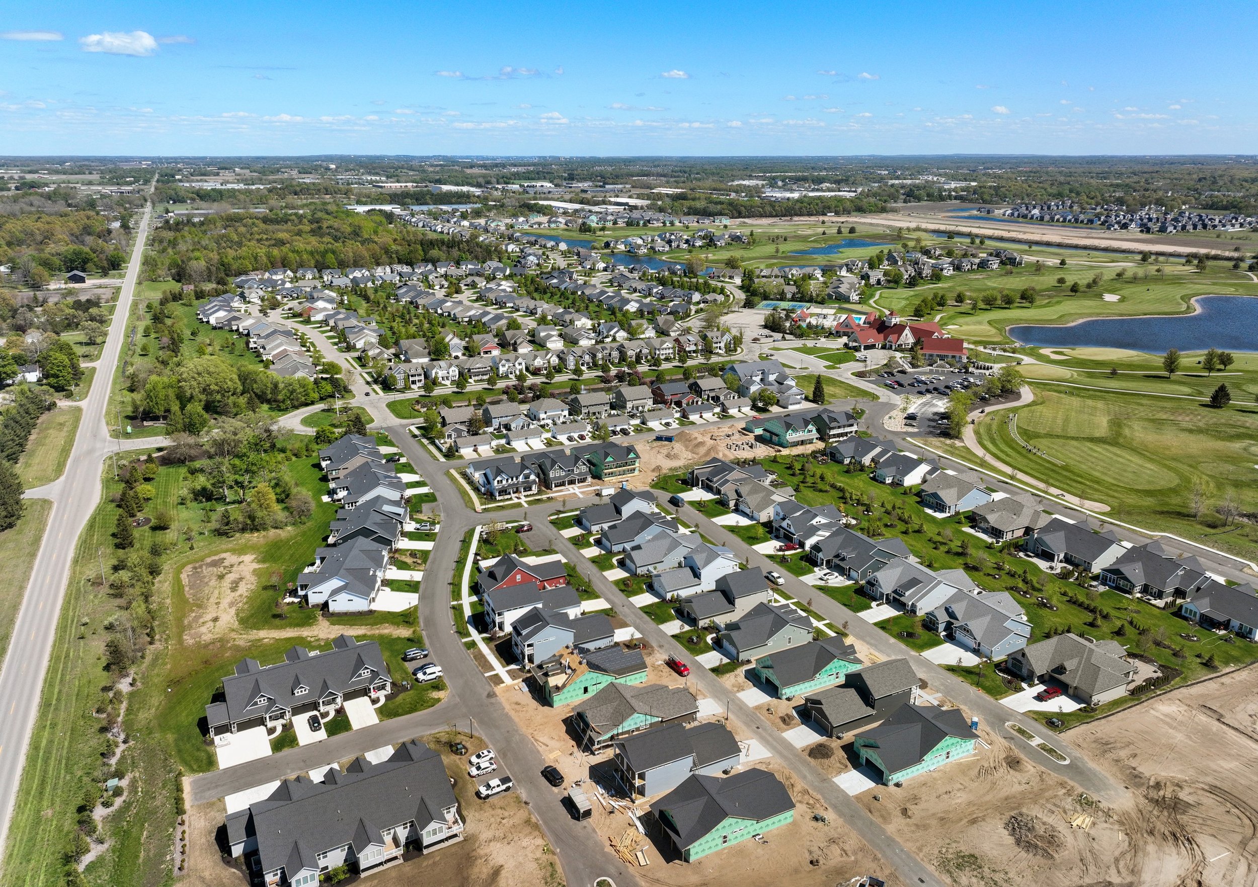
Survey-grade terrain data, captured from the air.
Drone LiDAR and photogrammetry for civil engineers and land surveyors accurate topography, delivered in the exact formats you already work in, tied to your control or ours.
-
LAS · DWG · DEM · DTM
Delivered in your formats
-
Your control, or ours
Survey-grade accuracy
-
Part 107 + insured
FAA certified, fully covered
-
~3 min avg.
Quote response time
We fly your site and hand you clean, control-tied data — not a folder of raw files. LiDAR for true ground surface, photogrammetry for measurable imagery, delivered straight into your CAD and civil software.
HOW A DRONE SURVEY WORKS
The true ground surface — without the field days.
Two capture methods, one goal: terrain and data you can design and build on.
Drone LiDAR for topography
Dense, accurate bare-earth terrain, captured fast and safely from the air. LiDAR sees through light vegetation to reach true ground surface — ideal for topo surveys, site development, and corridors.
Photogrammetry & orthomosaics
High-resolution, measurable orthomosaics and 3D models alongside the LiDAR — georeferenced basemaps ready for planning, design, and presentation.
Ground control, handled
We set and survey our own ground control points for survey-grade accuracy — or tie directly into your existing control network. Either way it fits your project.
Delivered to your specs
Point clouds, terrain models, contours, and CAD — in your datum, projection, and units, ready to drop in with no rework on your end.
WHAT WE CAPTURE
How Our Process Works
Set or verify control
We place and survey ground control — or tie into yours — so everything lands on your coordinate system.
Fly the site
LiDAR and imagery captured in a single flight window, safely and without shutting the site down.
Process to your specs
Classified point cloud, terrain models, contours, and CAD — delivered in the formats you requested.
WHAT YOU’LL RECIEVE
Deliverables that drop straight into your workflow.
No proprietary lock-in, no reformatting. Tell us what you run; we deliver into it.
Point cloud
Dense LAS / LAZ, raw and registered, on your control.
Classified point cloud
Ground, vegetation, and structures separated.
DEM / DTM
Digital elevation and bare-earth terrain models.
DSM
Digital surface model, including features.
Contours
At your specified interval, ready for design.
DWG / CAD
Drops straight into Civil 3D and AutoCAD.
Orthomosaic
High-resolution, measurable GeoTIFF basemap.
Control & accuracy report
Documentation of control and achieved accuracy.
Frequently Asked Questions
-
Yes — LiDAR penetrates light-to-moderate vegetation to capture the true ground surface, which is why it's ideal for wooded and brushy sites where photogrammetry alone can't reach the dirt.
-
Point cloud (LAS/LAZ), classified point cloud, DEM/DTM, DSM, contours, DWG/CAD for Civil 3D and AutoCAD, and orthomosaic GeoTIFFs — all in your datum, projection, and units.
-
Either way. We can place and survey our own ground control points for survey-grade accuracy, or tie directly into your existing control network so it fits your project.
-
Timelines depend on site size and deliverables, but we build to your schedule — and average about a 3-minute response on quote requests to keep your project moving.
-
Yes. Everything is delivered in your datum, projection, and units, ready to drop in with no rework on your end.
Request A Quote
Tell us about your project and hear back within the hour.