

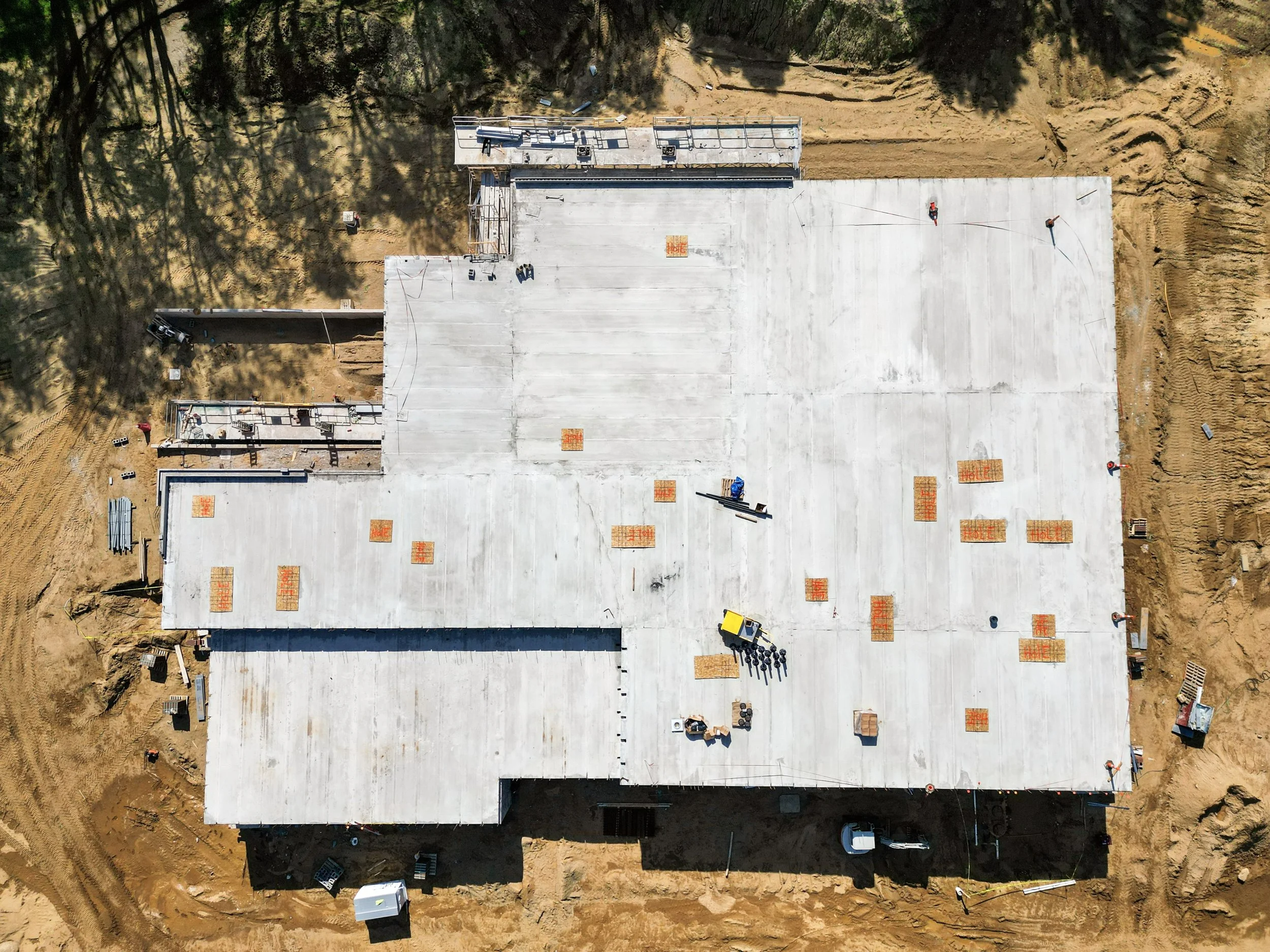
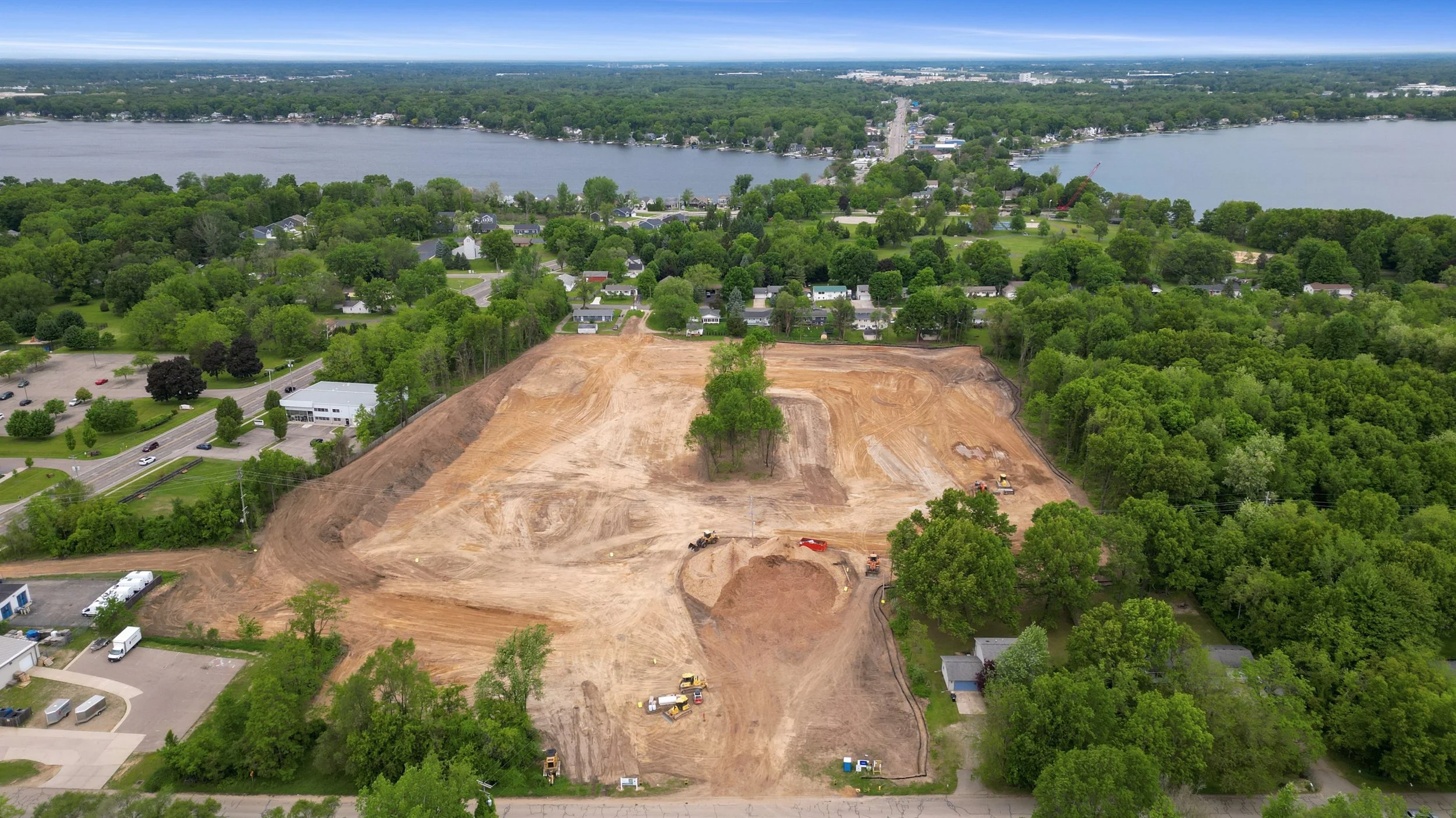
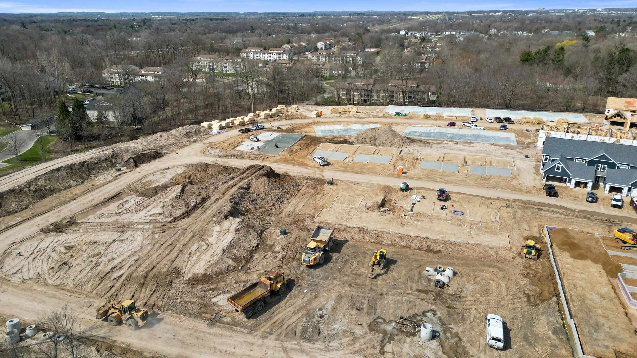
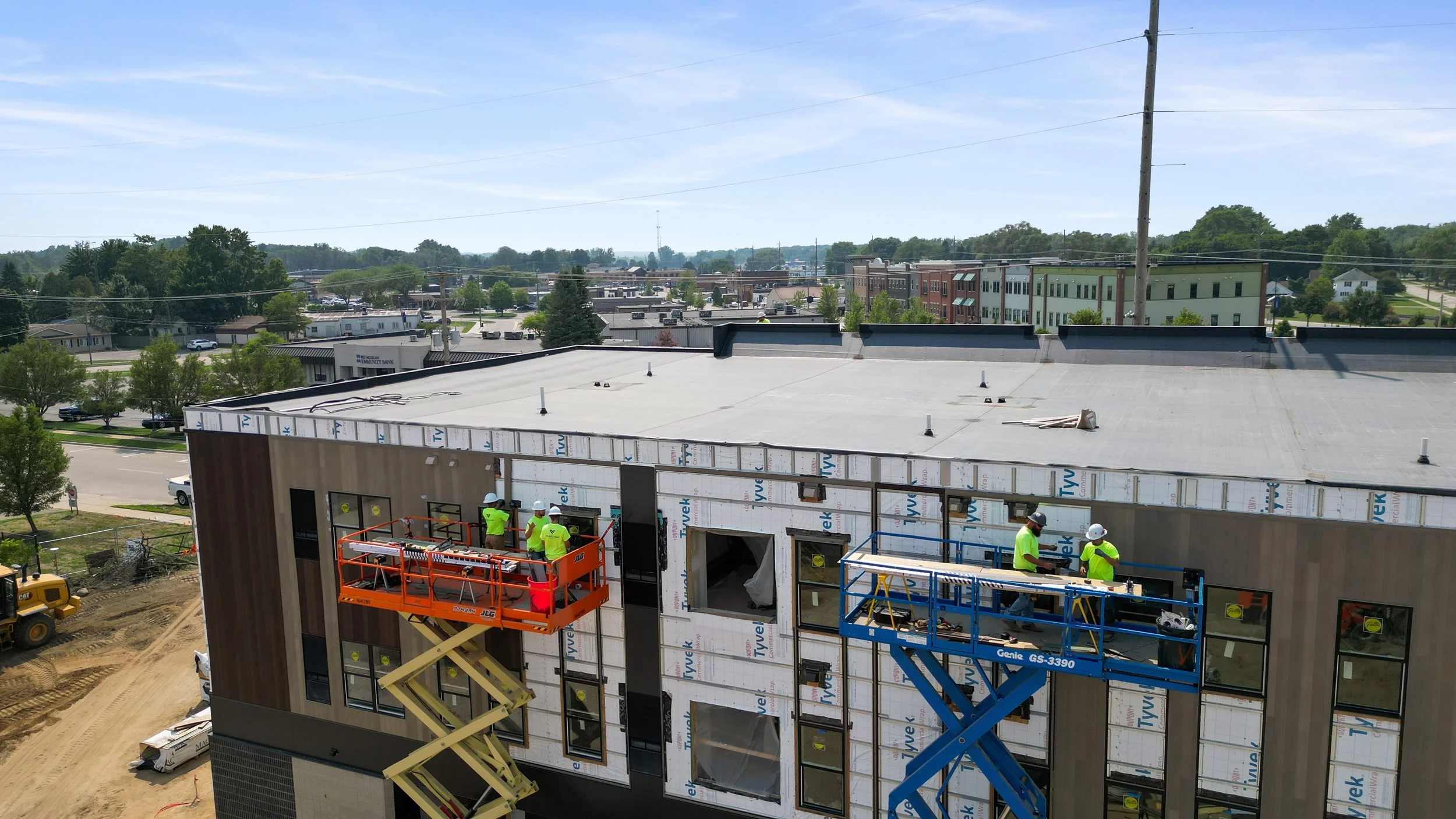
Construction Progress
We provide high resolution drone photos and videos to visually document every stage of your project.
We can visit on a weekly, biweekly, or monthly schedule and capture the same angles every time so you can clearly see how the project is progressing.


Drone Mapping
Our progress drone mapping captures your project from multiple angles and flight paths to create accurate, measurable maps of your construction site. Each visit produces a detailed orthomosaic (top-down map), elevation models, and 3D surface views that can be compared against previous site visits.
Progress Videos
Contact Us!
Please contact us below or fill out the form to get a quote or book a project. We always aim to respond within a few business hours.