
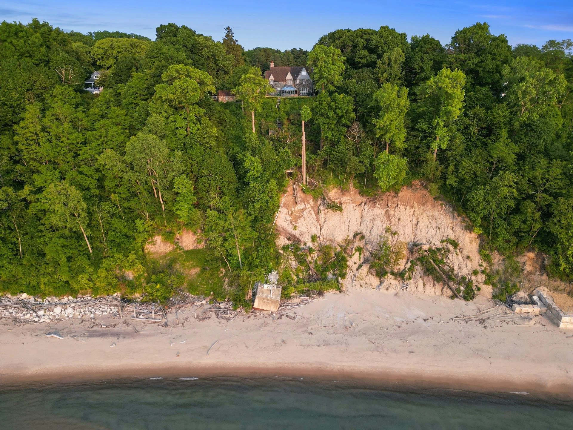
Clear, mapped documentation for permitting and monitoring.
ENVIRONMENTAL
Drone mapping and documentation for wetland and permitting existing-conditions surveys, erosion and sediment control monitoring, and remediation and brownfield before-after records.
-
FAA Part 107 Licensed
Fully insured drone operations
-
Southwest Michigan Based
On site fast, no long travel days
-
Recurring Monitoring Available
Track a site over time
-
NDVI Available via Partner
Vegetation health mapping on request
Environmental work depends on clear, dated documentation of site conditions — whether that's a wetland delineation supporting a permit application, erosion and sediment control monitoring on an active construction site, or before-and-after imagery of a remediation project. We map the site and hand you documentation that holds up when it needs to.
WHAT WE OFFER
Built for permitting and monitoring needs
Wetland & Existing-Conditions Mapping
Drone mapping of site conditions to support permitting and existing-conditions documentation.
Erosion & Sediment Control Monitoring
Recurring flights over an active construction site to document erosion and sediment control measures over time.
Remediation & Brownfield Documentation
Before-and-after aerial documentation of remediation and brownfield redevelopment sites.
Drone Mapping & Orthomosaic Surveys
A stitched top-down map of the site from a single flight, useful for planning and reporting.
NDVI & Multispectral Mapping (via Partner)
Vegetation health and stress mapping delivered through our capture partner network for projects that need it.
Drone LiDAR Surveying
Point cloud data for sites where mapping precision matters, including under partial canopy.
Frequently Asked Questions
-
Drone mapping and imagery can support the existing-conditions documentation many permit applications require — check with your consultant or the permitting authority on their specific requirements.
-
Yes, through our capture partner network — we don't operate that equipment directly, but can coordinate it as part of a project.
-
Yes — recurring flights on a schedule are common for erosion and sediment control monitoring and remediation progress documentation.
-
Drone flights don't require ground disturbance, which makes them well suited to documenting sensitive areas without physically entering them.
-
Environmental consultants, developers, and site owners working through permitting, monitoring, or remediation requirements.
Get clear, dated documentation your project can rely on.
Request A Quote
Tell us about your project and hear back within the hour.