
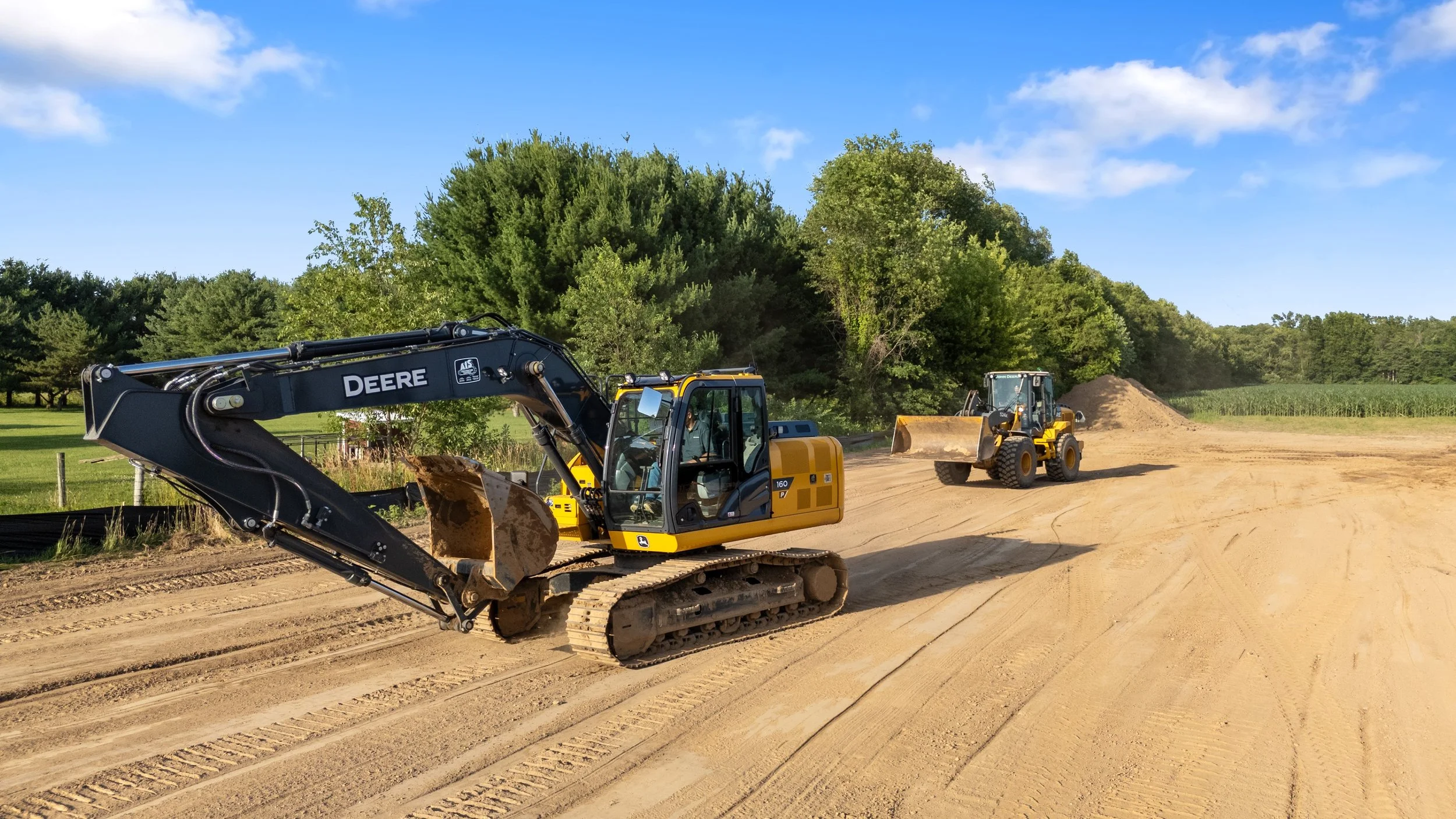
Track cut and fill against the plan, not against a guess.
EXCAVATION & EARTHWORK
Drone mapping built for active grading and earthwork projects — volumetric cut/fill tracking against the grading plan, and progress documentation you can hand to an owner or use to support a change order.
-
FAA Part 107 Licensed
Fully insured drone operations
-
Southwest Michigan Based
On site fast, no long travel days
-
Repeat Flights Available
Track progress flight over flight
-
Fast Turnaround
Data delivered on your timeline
Earthwork is project-based and the numbers matter — how much dirt moved this week, whether cut and fill are tracking to the grading plan, and what the site actually looked like when a dispute comes up. We fly the site, process the data into a volumetric surface, and give you numbers and imagery you can use in the field or in a meeting.
WHAT WE OFFER
Built for active earthwork projects
Drone Mapping & Orthomosaic Surveys
A stitched top-down map of the full site from a single flight — useful for planning, progress tracking, and sharing with your team.
Volumetric Cut/Fill Measurement
Compare current site conditions against your grading plan or a prior flight to track cut and fill volumes as the project progresses.
Construction Progress Documentation
Recurring flights on a schedule that matches your project timeline, giving owners and lenders a clear record of progress.
Drone LiDAR Surveying
Point cloud data of the site for projects where mapping alone isn't precise enough.
Site Photography
Ground and aerial photography for progress reports, marketing, or documentation.
Erosion & Sediment Control Documentation
Site imagery that supports erosion and sediment control monitoring during active earthwork.
Frequently Asked Questions
-
Accuracy depends on the flight plan and any ground control used for a given project. Tell us what the data needs to support and we'll recommend the right approach.
-
Yes — recurring flights on a schedule are a common way projects use this, so you can compare progress flight over flight.
-
The mapping and volumetric data give you a documented record of site conditions and cut/fill volumes at a point in time, which many contractors use to support change order discussions.
-
Both — we're hired directly by grading contractors as well as general contractors overseeing a site.
-
Reach out with your site location and timeline and we'll let you know what's realistic.
Get real numbers on your site, not a guess.
Request A Quote
Tell us about your project and hear back within the hour.