
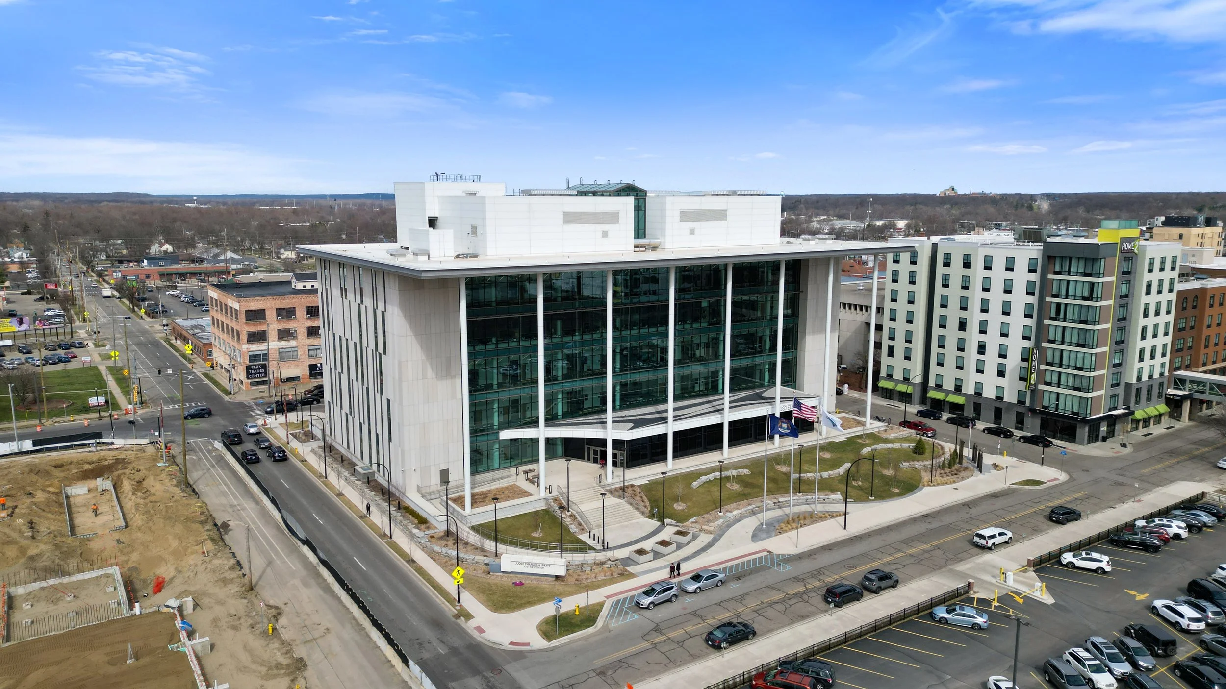
Documentation built for public accountability and public budgets.
GOVERNMENT & MUNICIPAL
Drone and 3D documentation for municipalities, public works departments, and government facilities — clear, accurate records that hold up for public accountability, grant reporting, and budget planning.
-
FAA Part 107 Licensed
Fully insured drone operations
-
Southwest Michigan Based
On site fast, no long travel days
-
RFP & Bid Ready
Comfortable with public procurement processes
-
Clear Documentation
Records that hold up for public review
Government work runs on documentation that holds up — to a council, to a grant auditor, to the public. We provide drone mapping, thermal inspection, and 3D documentation for municipal buildings, public works infrastructure, and government-owned facilities, delivered in a format your department can actually use and defend.
WHAT WE OFFER
Built for municipal and public works needs
Municipal Building Documentation
As-built and existing-conditions documentation of municipal buildings for facility records, renovation planning, or grant applications.
Drone Thermal Roof Inspections
Identify roof moisture and damage on municipal buildings before it becomes an expensive repair.
Public Works & Infrastructure Mapping
Drone mapping of public works sites, road projects, and municipal land for planning and record-keeping.
Park & Facility Photography
Aerial and ground photography of parks, recreation facilities, and public spaces for marketing and records.
Construction Progress Documentation
Recurring documentation for municipal construction and infrastructure projects, useful for public updates and contractor accountability.
3D Laser Scanning & Scan-to-BIM
Accurate as-built data for renovation or expansion planning on municipal buildings.
Frequently Asked Questions
-
Yes — we're glad to work within your municipality's procurement process. Reach out with the details and we'll follow your process.
-
Drone and 3D documentation can support the existing-conditions or progress documentation many grant applications require — check with your grant administrator on their specific requirements.
-
Yes — we're hired directly by municipalities, public works departments, and government facilities staff.
-
Yes, all drone operations are flown under FAA Part 107 by a licensed, insured operator.
-
In most cases, yes — tell us the site size and layout and we'll let you know what's involved.
Get documentation your department can stand behind.
Request A Quote
Tell us about your project and hear back within the hour.