
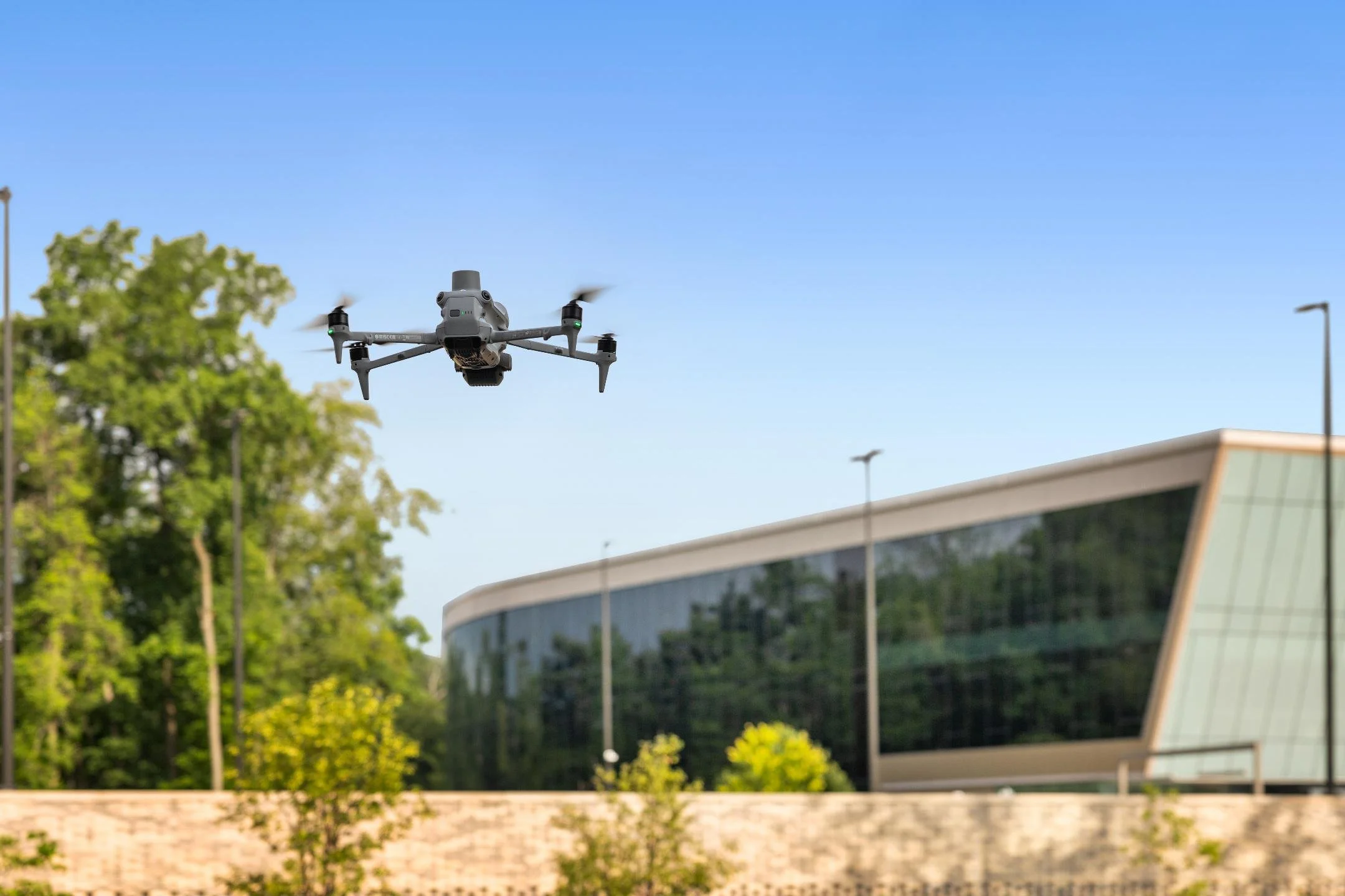
The gear behind every deliverable.
TECH & EQUIPMENT
Drones, cameras, and scanners we fly and shoot with every week — plus the trusted partner network we call on for large-format laser scanning. If you're wondering what we'll actually show up with, it's all here.
-
FAA Part 107 Licensed
Fully insured drone operations
-
Southwest Michigan Based
Fast regional response
-
3D Scanning + LiDAR
Building and site capture
-
Survey-Grade Mapping
RTK-supported workflows
We use a focused set of professional equipment for drone operations, photography, 3D scanning, LiDAR, thermal inspections, and mapping. Each project is matched with the equipment and workflow needed to produce a useful, accurate deliverable
WHAT WE OFFER
What we show up with
Drones
The fleet we fly week to week, matched to the job.
- DJI Mavic 3 Enterprise — mapping, photography & video, our workhorse
- DJI Matrice 4T — thermal inspections
- DJI Mini-series — tighter spaces or lower-key jobs
FAA Part 107
Cameras
Two lenses cover almost everything we shoot on the ground.
- Canon EOS RP + RF 16mm wide-angle — real estate, architecture, interiors
- 24-70mm f/2.8 zoom — branding, people, detail shots
3D Scanning
In-house for everyday tours, partner network for survey-grade work.
- Matterport Pro3 — (in-house) — virtual tours & space documentation
- Leica BLK360 / Faro / Trimble X10 (partner network) — large-format, survey-grade laser scanning
Mapping & Processing Software
Turning raw flight data into a deliverable you can actually use.
- DroneDeploy — orthomosaic stitching & 3D mapping
- WebODM thermal ortho processing
Drone LiDAR (Launching Soon)
True point-cloud mapping alongside our existing photogrammetry workflow.
- DJI Matrice 400 RTK + Zenmuse L3 — on order, point-cloud LiDAR mapping
Coming Soon
Survey-Grade GNSS Support
Ground control for projects where positional accuracy matters most.
- RTK base station — joining the toolkit alongside the LiDAR rig
Coming Soon
Frequently Asked Questions
-
We use commercial DJI aircraft selected for the needs of each project, including the Mavic 3 Enterprise for mapping, photography, and video and the Matrice 4T for thermal inspections
-
Yes. We provide both terrestrial laser scanning and drone LiDAR for building, site, and existing-conditions documentation. The right approach depends on the property, required accuracy, and final deliverables.
-
A Canon EOS RP with an RF 16mm wide-angle lens for real estate, architecture, and interior work, and a 24-70mm f/2.8 zoom for branding, portraits, and detail shots.
-
Yes. All drone operations are flown under FAA Part 107, and we carry insurance for our drone and scanning work.
-
Mapping accuracy depends on the equipment, flight plan, site conditions, and control methods used for the project. For work requiring tighter positional accuracy, we can incorporate RTK and ground control into the workflow.
Want to know exactly what we'll fly, scan, or shoot on your project?
Request A Quote
Tell us about your project and hear back within the hour.